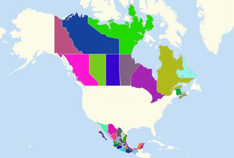
NORTH AMERICA STATES
- Territory Guide
- NORTH AMERICA STATES
Turn a map of North America states into a pool of data analytic learnings now! Once you overlay the state boundaries to your map, get ready to discover new ideas, patterns, trends, and insights for retail, sales, and territory management.
So let’s make this mapping and analytic experience the one that’s never be forgotten.
A CLOSER LOOK AT NORTH AMERICA STATES
The North American continent is located within the Northern Hemisphere, however some parts of it are part of the Western Hemisphere. It covers about 16.5 percent of the earth’s land area, making it the third largest continent by area. In terms of population, North America ranks fourth. The northernmost countries in North America include:
- United States
- Bermuda
- Canada
- Greenland
- Pierre
- Miquelon
ADD NORTH AMERICA STATES TO MAP
The first step is to add territories. Click the ADD button on the left side of your map then select From Mapline’s Repository.
To select territories, use the search bar and type in NORTH AMERICA. Instantly, you’ll get to choose the state territory.
Adding the state boundaries of North America adds to a better visualization to help you see the totality of your network and operations. What’s even bettr is that the connections you see in your data and state boundaries derives in an informed decisions.


Pro Tip: Mapline provides a whole range of territory boundaries to the states of North America.
CHOOSE STATE COLORS
Accelerate your territory analysis the moment you add colors to your territories.
Adding colors makes it easy for you to compare and contrast the state territories. By having color-coded territories, you get to identify the locations which will be more income-generating, minimize the expenses, and chart the next course where you want to be.
How do you do achieve that? Startby selecting the right color style for you, then hit OK.

GET NEW TERRITORY INSIGHTS
That’s how easy it is to create a North America States Map. Once you have your map, you can create a map of Excel spreadsheet locations to overlay on top. Then, get summary information about the locations inside each state just by clicking on them. Learn more about our individual, team, API and custom plans to get started today.


