
A Better Use of East Timor Map Showing Municipalities in Export Industry
Experience the Advantage of Mapline’s Advanced Mapping Route Planning Software
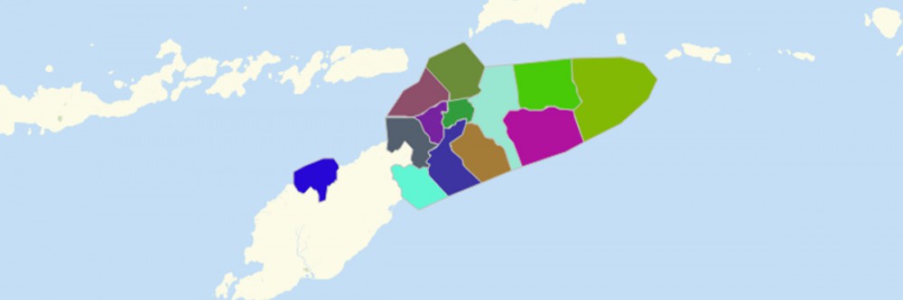
An East Timor map showing municipalities serves as a guide to improve product export management. East Timor is an island country in Southeast Asia. It is divided into 13 municipalities, which in turn are further divided into 65 administrative posts. The country ranks 6th as world’s cinnamon producer, 40th as coffee producer, and 50th as cocoa producer. The country’s export industry should have a solid logistical planning to ensure that the whole process is managed properly. At its core, the industry is dependent on routing software to help in fleet management, improve communication, optimize on-hand supply levels, and many others.
Use Mapline’s Advanced Mapping Route Planning Software when mapping East Timor municipalities. It helps companies combine multiple data sources to solve vehicle problems from multi-depot stops. Customize your multi-routes based on time, mileage limits, or other specialized data values. Analyze risks or route limitations such as high crime areas, hazardous material routes, and others.
Analyze More Than Municipality Boundaries
Map East Timor municipalities with the goal of analyzing connections and patterns on your data. Create a municipality map in seconds then start your data and territory analysis right away.
- Create a Mapline account and login.
- Click the orange “Add New Items” button.
- Select “New Map” on the drop down arrow.
- Give your map a name and click “OK.”
- Click the “Add” button from the left sidebar.
- Select the “Territories” option.
- Click “From Mapline’s Repository.”
- From the “Territories” select “East Timor Municipalities.” Use the search bar for quicker results.
- Select how you want your boundaries to be colored in “Fill Color” (Random Colors, Uniform Color, or Custom colors from spreadsheet).
- Click “OK.”
See how Mapline’s Advanced Mapping Route Planning Software can help enhance analysis on an East Timor map showing municipalities. Sign up now and be ready to blow your mind with results extracted from data-driven insights.