Customize your territories
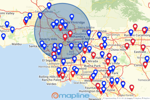
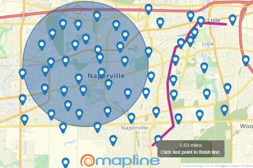
No two territories are alike. When your territories don’t match up to existing shapes or you don’t want to sort them by state, county, or zip code, you can create custom shapes to fit your company’s unique territories.
Take a deeper look inside your territories
Territory and zip code mapping helps companies identify area trends, create sales territories, and report geographic performance. Mapline’s zip code mapping tool makes it easy to overlay a territory such as state, county, or zip code boundaries on a map. Then click on any territory (such as a specific county) to see a list of all the locations inside that territory shape!


Conduct greater location analysis
Visibility into your territory performance can help you make smarter decisions to grow your business. When you view locations within your custom shapes and export the information, you can do greater territory analysis to get a clear picture of how successful your territories are.


