Geospatial intelligence software is no longer just for defense or disaster response. Today, it’s a critical business tool that helps teams map, analyze, and act on location-based data. From sales territories to supply chains, from market trends to field operations—geographic insights give you the edge. And while legacy GIS platforms paved the way, modern tools like Mapline make that same power accessible to everyday business users. If your team relies on location in any way, you need a platform that translates it into action.
What Is Geospatial Intelligence Software?
At its core, geospatial intelligence software merges spatial data with business context. It lets users visualize what’s happening, where… and why it matters. Think of it as the missing layer in your analytics stack: a visual engine that shows how performance shifts across regions, markets, and networks. Unlike traditional BI dashboards, it emphasizes geography, helping teams monitor patterns, track activity, and uncover location-based trends that might otherwise go unnoticed.
These tools are especially powerful for companies that work across multiple regions, manage mobile teams, or serve geographically diverse customer bases. Whether you’re mapping customer density, tracking delivery zones, or assessing market penetration, geo-intelligence software gives you the visibility to move faster and plan smarter.
And with modern solutions like Mapline, you don’t need a GIS degree to use it. Mapline’s intuitive design puts location data in everyone’s hands—from operations managers to marketing teams.


Pro Tip: Don’t just visualize your data—connect it. The most effective geospatial intelligence software doesn’t stop at plotting pins; it layers performance metrics, customer behavior, market trends, and live operational data into one cohesive view. When you integrate your CRM, sales reports, and logistics data into a single map, patterns emerge that dashboards alone can’t reveal. Use these spatial insights to not only understand what’s happening, but to predict what’s coming next.
What Businesses Use Geospatial BI Software For
Today’s location-intelligent platforms offer value across nearly every department. Sales leaders use it to optimize territories. Ops managers use it to streamline logistics. Marketers use it to localize campaigns. The point is: if location impacts your success, geospatial analytics can boost your strategy.
- Regional business performance: Compare metrics across locations to quickly spot over- and under-performing areas.
- Logistics and routing: Monitor routes, delivery zones, and field coverage at a glance.
- Sales planning: Build balanced territories and pinpoint where leads convert best.
- Resource allocation: Deploy your team, equipment, or budget where it makes the biggest impact.
- Risk awareness: Overlay real-time alerts (like weather or traffic) to make faster, safer decisions.
In short, geospatial BI turns “where” into a strategic advantage.
Why Mapline Stands Out in the Geospatial Intelligence Space
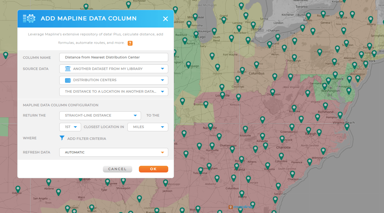
Many platforms offer basic mapping. Fewer combine spatial logic with business logic. Mapline was built to do both. It connects your existing data—spreadsheets, CRM exports, SQL databases—and instantly turns them into smart, responsive maps. But it doesn’t stop there. Mapline layers in interactive dashboards, real-time filtering, and advanced analytics features designed for decision-makers, not map-makers.
- Map business performance: Use color-coded maps to show how KPIs vary by territory, region, or store location.
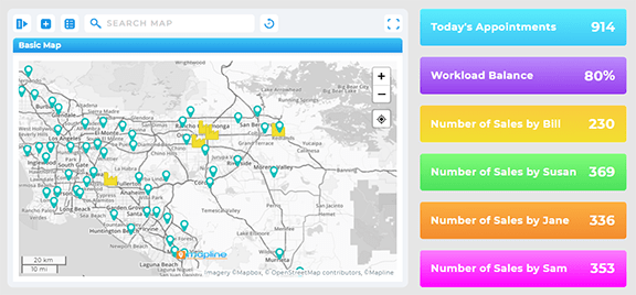
- Custom geospatial dashboards: Build live dashboards that blend charts, maps, and metrics in one view.
- Self-serve spatial BI tools: Teams can ask and answer their own location-based questions—no IT ticket needed.
- Data-driven mapping: Automatically apply filters, styles, or alerts based on live data conditions.
Mapline doesn’t just display where things are—it shows what you should do next.
Map-Based Analytics, Simplified
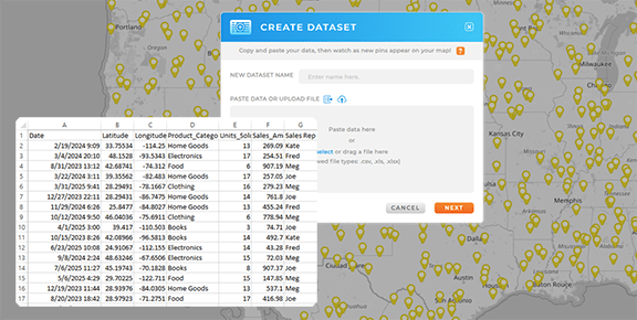
No coding. No GIS experience. Just upload a spreadsheet and drill into exactly what you need to see—by territory, ZIP code, or custom boundary.

Location Analysis Software That Answers Real Questions
Mapline makes it easy to ask questions like “Where are we underperforming?” or “Which areas are most profitable?” and get visual answers in seconds.

Geospatial Dashboards that Drive Strategy
Live dashboards keep your team aligned. Track KPIs geographically and monitor performance in real time across all your territories or business units.

Unlocking the Power of Visual Business Analytics
Data is easier to understand when it’s visual. That’s especially true when dealing with location-driven decisions. Whether you’re working in logistics, sales, marketing, or field ops, visualizing your metrics spatially can unlock patterns that spreadsheets miss. And when stakeholders need quick answers, maps are hard to ignore.
With Mapline, you can build:
- Interactive geo dashboards that let you click, filter, and drill down by geography
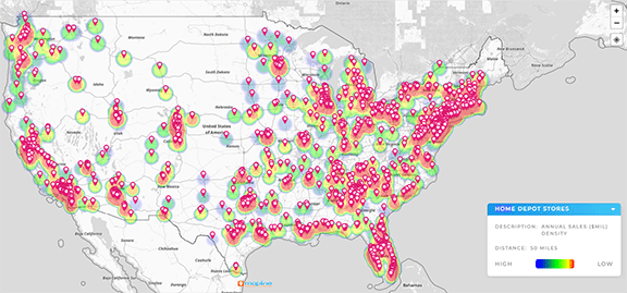
- Territory heat maps that highlight high- and low-performing areas at a glance
- Map-based KPI tracking that updates in real time as your data changes
It’s not about showing more data. It’s about showing data in ways that make decisions easier.
It’s software that blends location data with analytics to help businesses make smarter decisions based on where things happen. Unlike basic maps, it lets you analyze trends and performance by geography.
Any team managing multiple locations, territories, routes, or regions—especially sales, logistics, and operations teams. If location impacts your business, you’ll benefit from Geo BI.
GIS is typically built for technical specialists and focuses on complex mapping. Geo BI is designed for everyday business users who want insight, not just maps.
Yes. Mapline scales to meet enterprise needs with user permissions, data integrations, and scalable dashboards built for multi-location teams.


