Add U.S. Census Data to your Territories
See population and household data within your territories!
See Sections of the Population
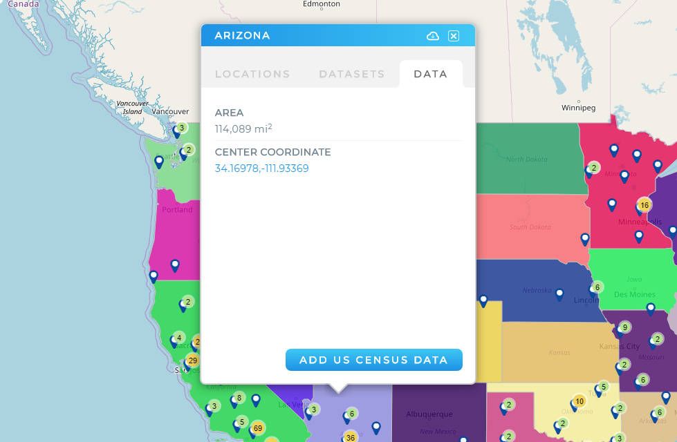
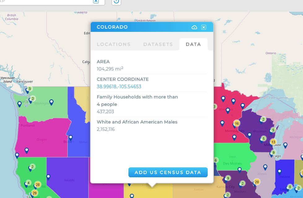
Every Zip Code, State Line, or County in Mapline can be linked to U.S. Census data. Break your map down by Zip Code and then immediate the get the population data for each Zip Code. Make better, smarter decisions than ever before.


Household Data for Territories
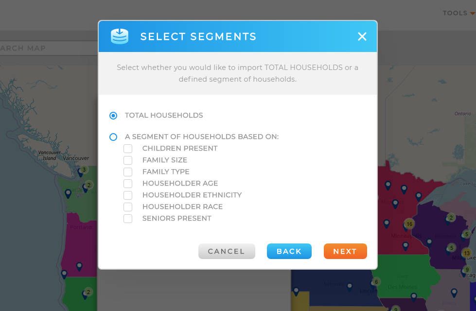
Not only can you leverage population data, but you can also add household data to U.S. boundaries as well! If you need to see households with children or seniors present, families of a certain size, or households of a certain race or ethnicity, all it takes is a few clicks.
Boundaries Can Do It All
Do every kind of analysis with your territories. You can use them to route between locations, summarize the data of your pins, and calculate the demographics within them. You’ve never had maps that are this dynamic. One shape will do everything you can think of. Your answers have never been clearer.


