- Blog
- Geo Mapping
- Top 7 Ways Field Teams Use Satellite Maps for Daily Decisions
Satellite maps provide unmatched context for field teams, beyond what standard road maps and spreadsheets offer. They give field teams the context that standard road maps and spreadsheets can’t. With a satellite map, users see what’s physically on the ground—entry points, building shapes, parking access, obstacles, vegetation, terrain, and real-world layout. This reduces uncertainty, prevents wasted trips, and speeds up daily planning. The best part? With Mapline, you can overlay pins, routes, coverage circles, and territories directly onto satellite imagery—creating a visual command center that supports faster, more accurate decisions.
Why Satellite Maps Improve Field Decision-Making
Satellite maps bridge the gap between planning and execution. Instead of relying on assumptions or vague directions, teams gain real-world visibility into every location they service. Satellite view shows where vehicles can park, which entries are accessible, where loading zones are located, and how to move efficiently within a site. With this visual context, field ops reduce mistakes, improve first-attempt completion rates, and eliminate unnecessary back-and-forth. Satellite imagery provides proof—not guesswork—so field teams spend less time reacting and more time executing.


Pro Tip: Use satellite view + coverage circles together to show actual reachability based on drive time, not just distance. It eliminates unrealistic promises and sets accurate expectations with customers.
Top 7 Field Use Cases for Satellite Maps
Across industries—logistics, delivery services, utilities, installation crews, telecom, pest control, HVAC—field teams use satellite view to eliminate inefficiencies. These seven examples show how high-resolution satellite imagery drives better daily decisions.
1. Identify the Best Entry Point or Loading Zone
Instead of circling a building looking for the right door, satellite imagery shows the parking lots, loading docks, alleyways, and service entrances before the truck or technician arrives. This reduces wasted time on-site and enables crews to move directly to where they need to be.
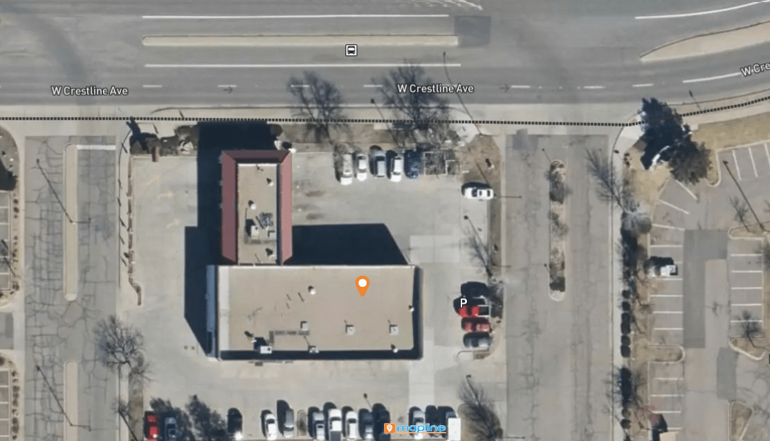
2. Confirm Vehicle Access for Trucks, Vans, or Delivery Fleets
Some locations appear accessible on standard maps but are blocked by narrow driveways, gates, or restricted access areas. Satellite view shows vehicle turning space, drive-through clearance, and where drivers can safely pull over or unload.
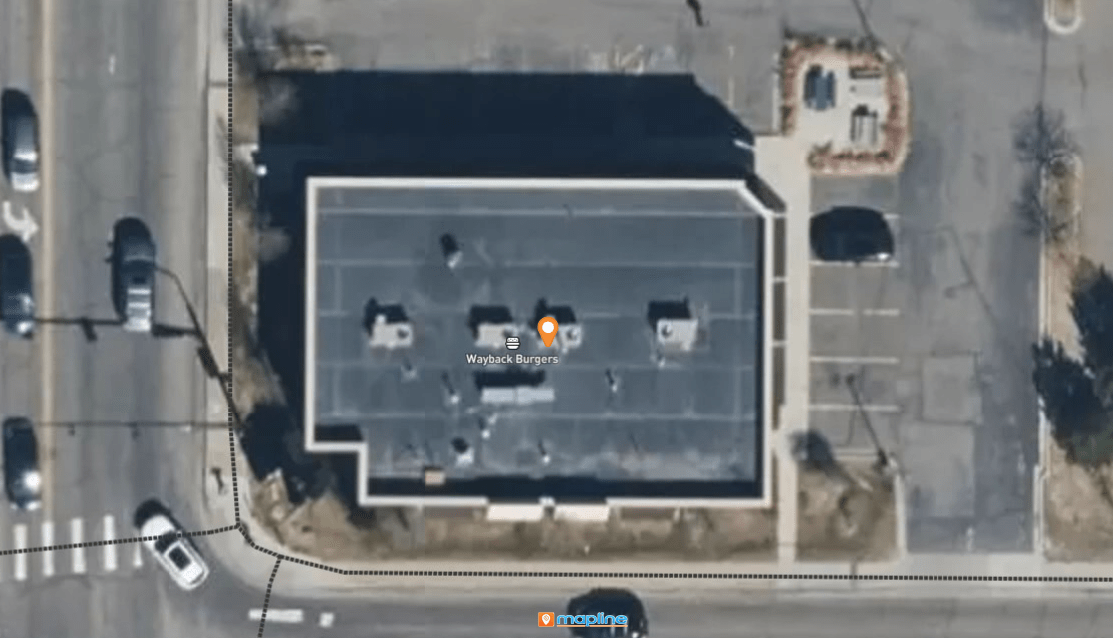
3. Validate Service Areas and Avoid Problem Locations
Satellite view clarifies coverage zones by showing what’s actually inside the boundary—schools, industrial parks, residential blocks, or unserviceable terrain. Field teams avoid surprises and remove areas that are not realistically serviceable.
4. On-Site Route Planning Using Satellite Maps
For large facilities—campuses, shopping centers, industrial parks—satellite maps reveal the best pathways. Technicians know exactly where to walk, unload, or stage equipment, reducing backtracking and hours wasted navigating unfamiliar layouts.
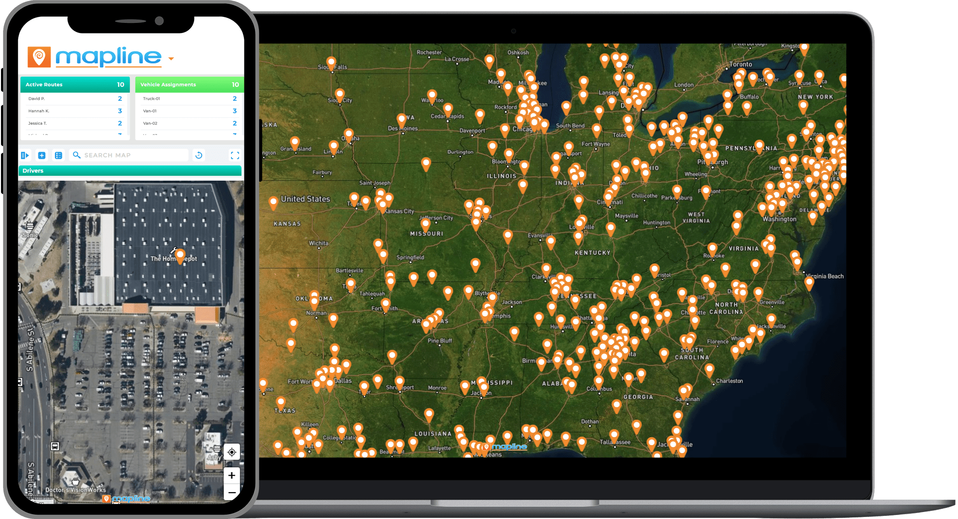
5. Parking Verification With Satellite Maps
Satellite maps reveal if there’s street parking, employee lots, customer spaces, or loading-only zones. Field teams can plan ahead, avoid tickets, and eliminate unplanned parking searches.
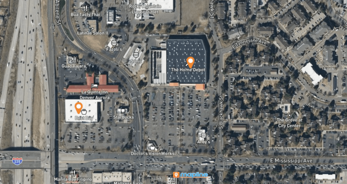
6. Terrain & Obstruction Assessment via Satellite Maps
Satellite imagery makes environmental challenges visible: steep grades, vegetation, construction, fences, or barriers. This is critical for utilities, telecom, and repair crews working around property lines or natural obstacles.
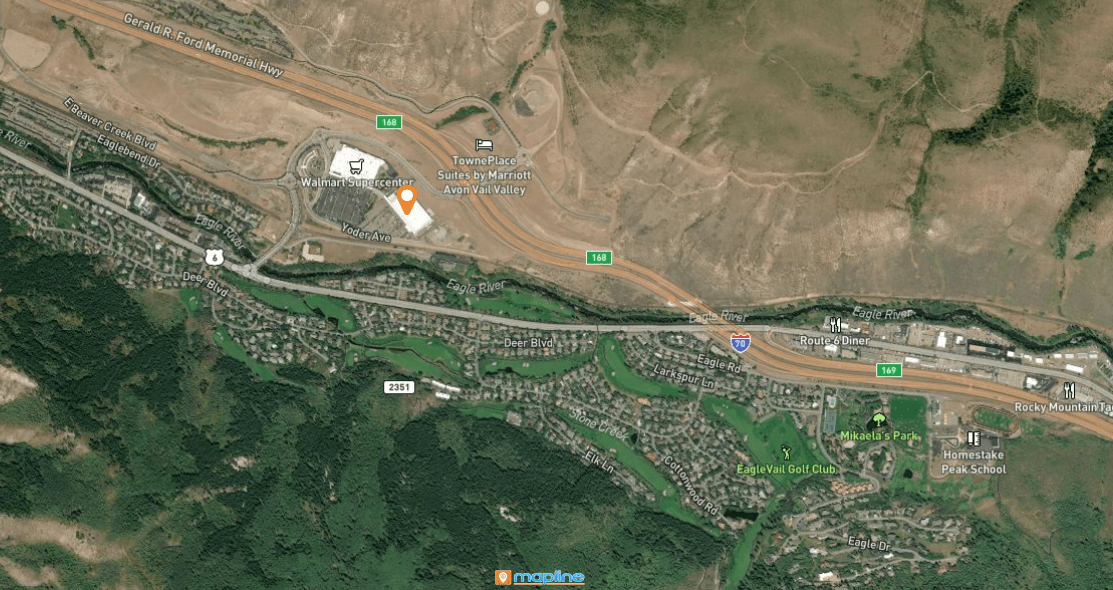
7. Compare Sites When Selecting New Install or Service Locations
Choosing the wrong site creates thousands of dollars in wasted time and delays. Satellite maps show everything—surrounding buildings, traffic access points, A/C unit placement on rooftops, and where equipment will fit. With real imagery, decisions are grounded in reality, not assumptions.
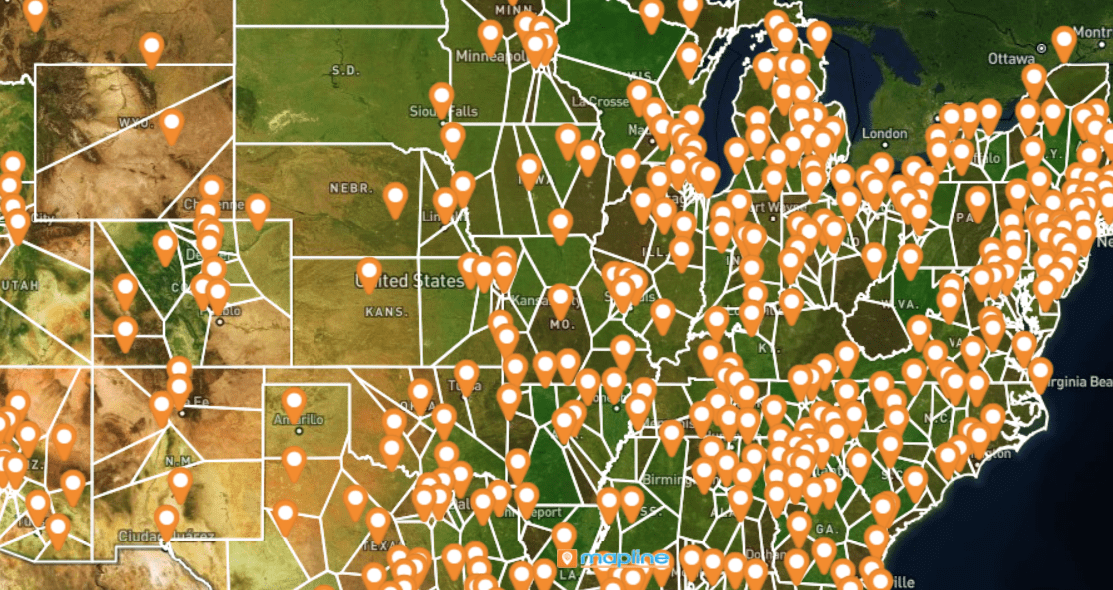
How to Use Satellite View in Mapline
Satellite maps in Mapline aren’t just for visual reference—they’re integrated into your data workflows. Add territories, pins, or routes without losing visibility of what’s on the ground. Switch between satellite and standard map mode anytime. Export satellite imagery as PNG for presentations or send dynamic map links to field crews for onsite navigation.
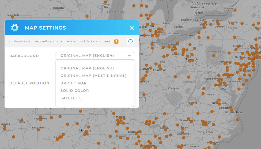
Step 1: Turn on Satellite View
Toggle satellite imagery from the map toolbar. Your pins and shapes stay visible, even in satellite mode.
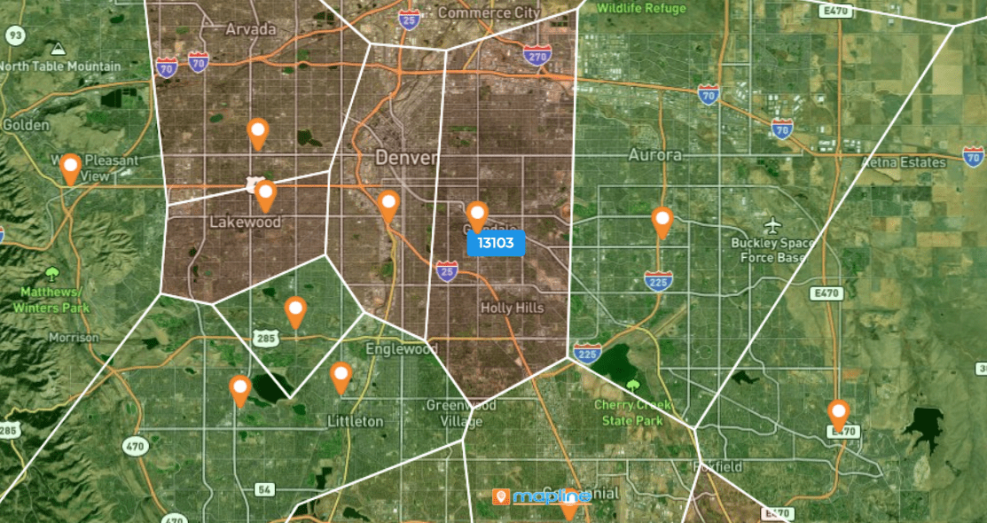
Step 2: Overlay Data
Add shapes, routes, or coverage circles directly onto the satellite image to gain full operational context.
Step 3: Share or Export
Export high-resolution satellite maps as PNGs or send a dynamic map link so teams can zoom, filter, and explore the data live.
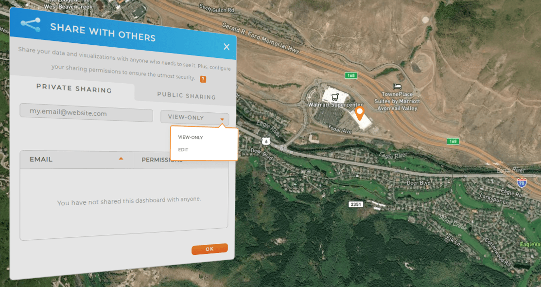
Yes — Mapline exports high-resolution PNG satellite maps for presentations and reports.
Yes — all map layers remain visible while in satellite mode.
Yes. Satellite imagery reveals real-world site features you can’t see on standard road maps.
Mapline pulls from enterprise satellite providers with frequently refreshed imagery.


