Mapping & Geospatial Analysis
Mapping & Geospatial Analysis
- Blog
- Geo Mapping
- Best GIS Software for 2025: Compare Top Platforms for Mapping & Geospatial Analysis
Geographic Information Systems (GIS) software has evolved from a specialized tool for cartographers into an essential business intelligence platform. Whether you’re planning sales territories, analyzing market trends, or mapping delivery zones, modern GIS programs offer advanced geospatial insights that give your team a competitive edge.
But not all GIS platforms are created equal. Some require steep learning curves or costly licensing. Others offer powerful mapping tools but lack the real-time data, automation, or cloud-based functionality your team needs. That’s where Mapline stands out: an intuitive, enterprise-ready GIS platform built for rapid deployment, powerful geo mapping, and actionable location intelligence—without the GIS degree.
What Is GIS Software and Why Does It Matter?
GIS software enables users to collect, visualize, analyze, and act on geographic data. It’s the backbone of spatial decision-making across industries—from urban planning to retail logistics. At its core, GIS combines location-based data (addresses, coordinates, territories) with business metrics (sales, resources, assets) to surface patterns, optimize operations, and forecast trends.
With the right GIS tools, companies can:
- Create layered maps with custom datasets
- Perform geospatial analysis to reveal patterns and opportunities
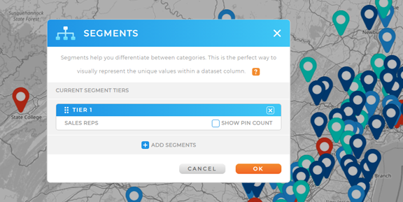
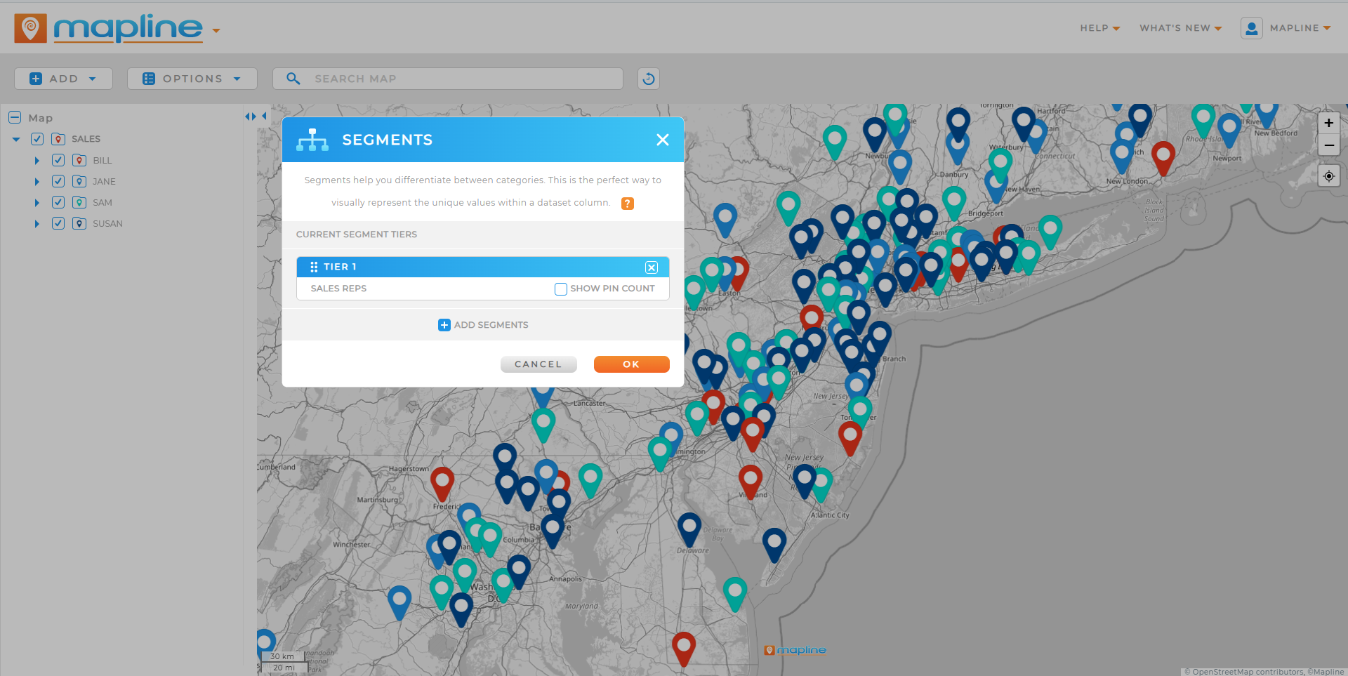
- Segment customers or service areas geographically
- Plan routes, territories, or resource allocations in real-time
- Visualize key performance indicators using location-based dashboards
Mapline transforms these capabilities into a user-friendly GIS platform—bringing real-world clarity to your data in just a few clicks.
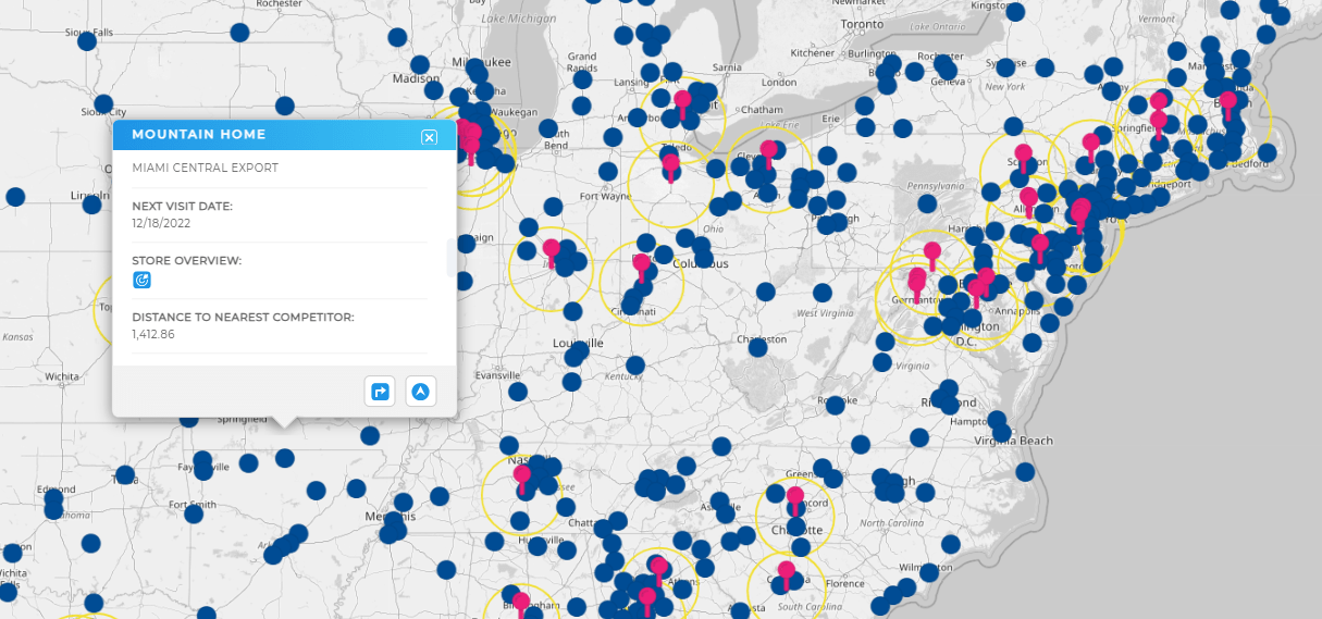

Pro Tip: When comparing GIS software, don’t just focus on features—focus on fit. The best GIS platform is the one your whole team can actually use. If your analysts are the only ones who understand the interface, adoption (and ROI) will stall. Look for tools like Mapline’s Geo Mapping that offer powerful spatial analysis and an intuitive UI, so anyone from field reps to executives can access insights without a GIS degree.
Core Capabilities to Look for in a GIS Program
When evaluating GIS software, the goal isn’t just to make maps; it’s to make better decisions. Here are the most important features to look for in any modern GIS platform:
- Geo Mapping Software: Create, edit, and interact with maps based on your real-world locations.
- Geospatial Mapping Tools: Layer different datasets to analyze customer behavior, asset locations, service zones, and more.
- Territory and Region Mapping: Draw boundaries, balance workloads, and manage resources geographically.
- Geospatial Analytics Tools: Run trend analysis, heat maps, or distance-based comparisons across your mapped data.
- Interactive Dashboards: Visualize KPIs like sales, delivery time, or service coverage in a real-time, map-first view.
- Data Integration: Sync spreadsheets, CRMs, or external APIs for always-current, live updates.
Mapline includes all of these features—without the need for coding, custom development, or third-party plugins. It’s a GIS platform that brings clarity without complexity.
Best GIS Software Platforms (Free & Paid)
There are dozens of GIS mapping programs on the market, but few offer the balance of power, usability, and affordability that modern businesses need. Some tools require extensive training or coding knowledge, while others sacrifice core features for a cleaner interface. The best platforms combine advanced spatial analysis with intuitive design—allowing both analysts and everyday users to extract value from their location data. Whether you’re mapping customer locations, planning service areas, or analyzing field operations, it’s essential to choose a tool that scales with your needs. Here’s how the leading options compare, with Mapline setting the benchmark for ease and flexibility.
ArcGIS & Esri Software
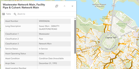
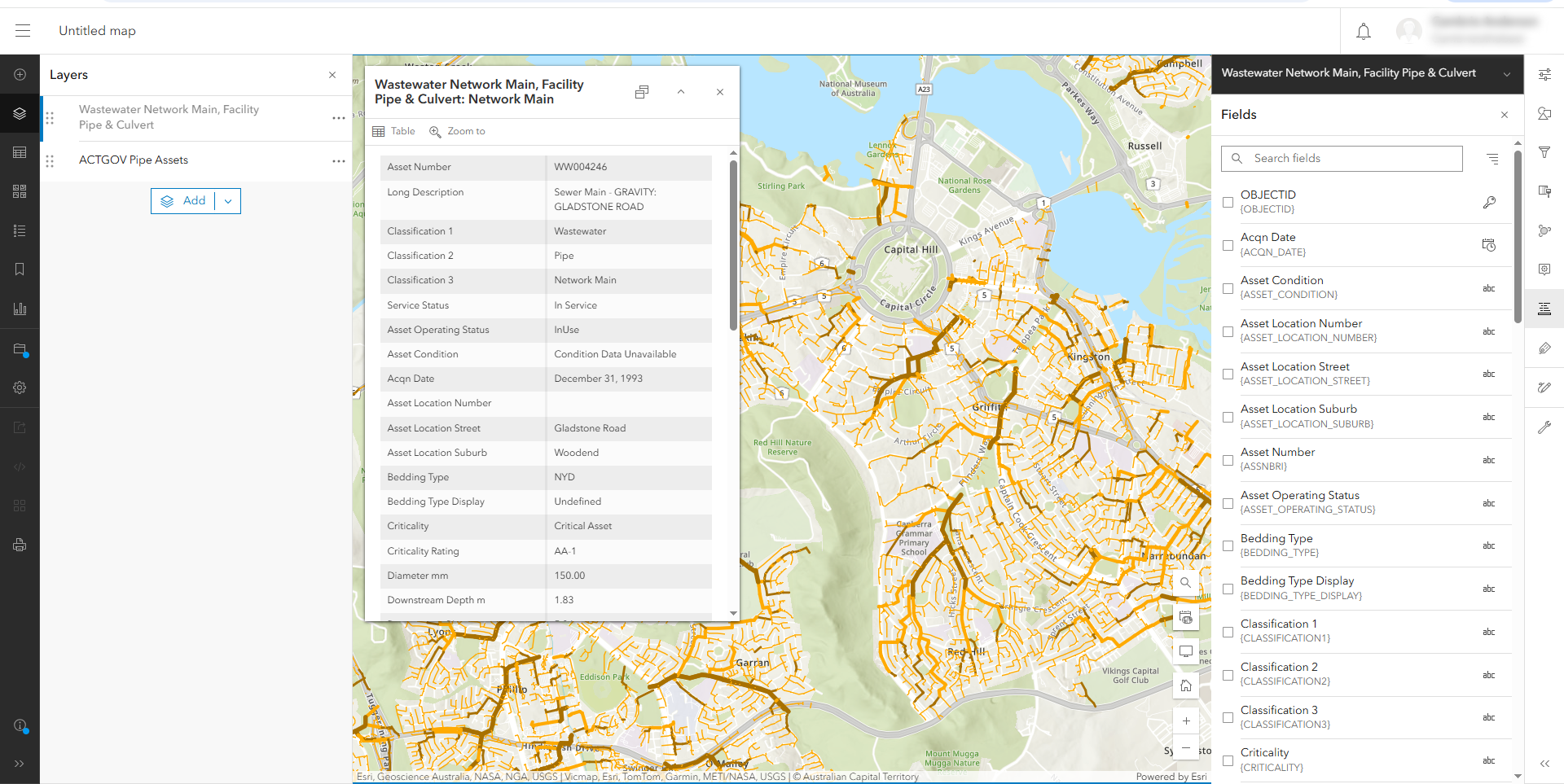
Esri’s ArcGIS is considered the gold standard in legacy GIS systems—used heavily in government, urban planning, and academia. While powerful, it’s often overbuilt for business users and requires advanced training, licensing, and IT support to operate effectively. Mapline, by contrast, brings similar power into a browser-based tool you can learn in minutes, without the hefty price tag or steep learning curve.
Maptitude Software
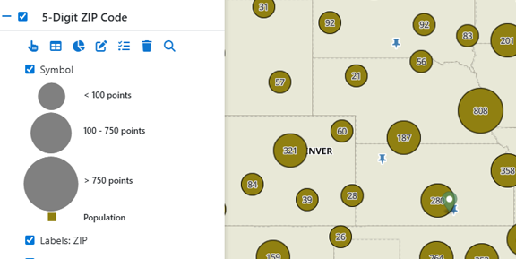
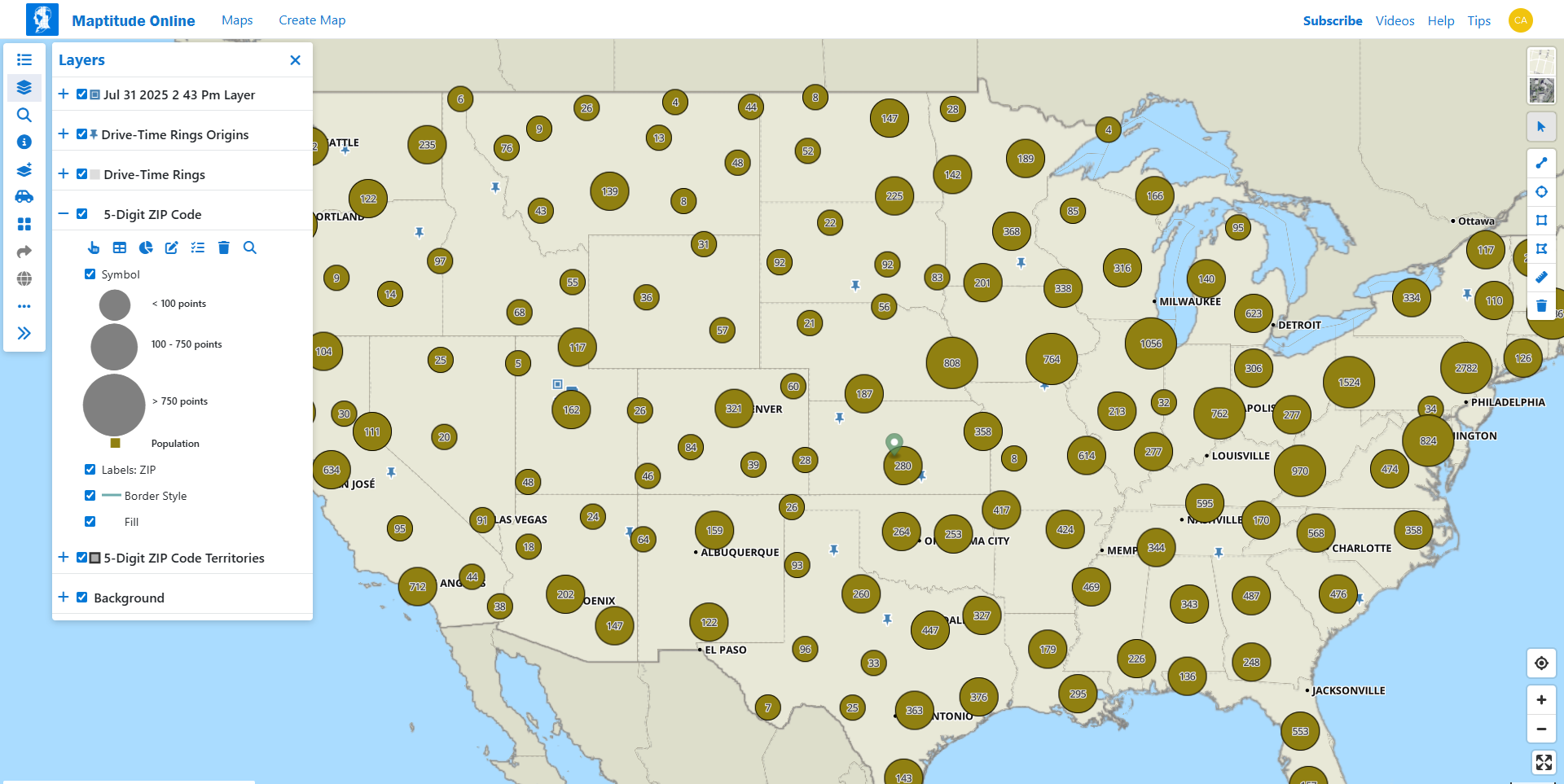
Maptitude is popular for market analysis, offering tools to visualize demographic and economic trends. However, it’s primarily a desktop application with limited cloud capabilities. Mapline provides similar market insights with territory and demographic layers, plus real-time collaboration, dashboards, and auto-optimization from anywhere.
Free GIS Software Options
If you’re on a budget or just getting started, free GIS software like QGIS is an option. It’s open-source and highly customizable, but also highly technical. Mapline’s free tier offers basic mapping, territory drawing, and data uploads, without the complexity or setup headaches. It’s the fastest path from spreadsheet to map.
Mapline’s Geo Mapping
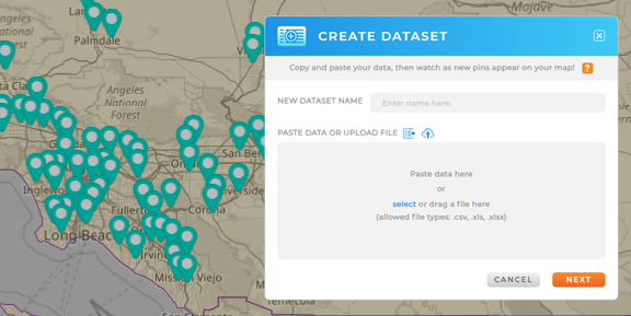
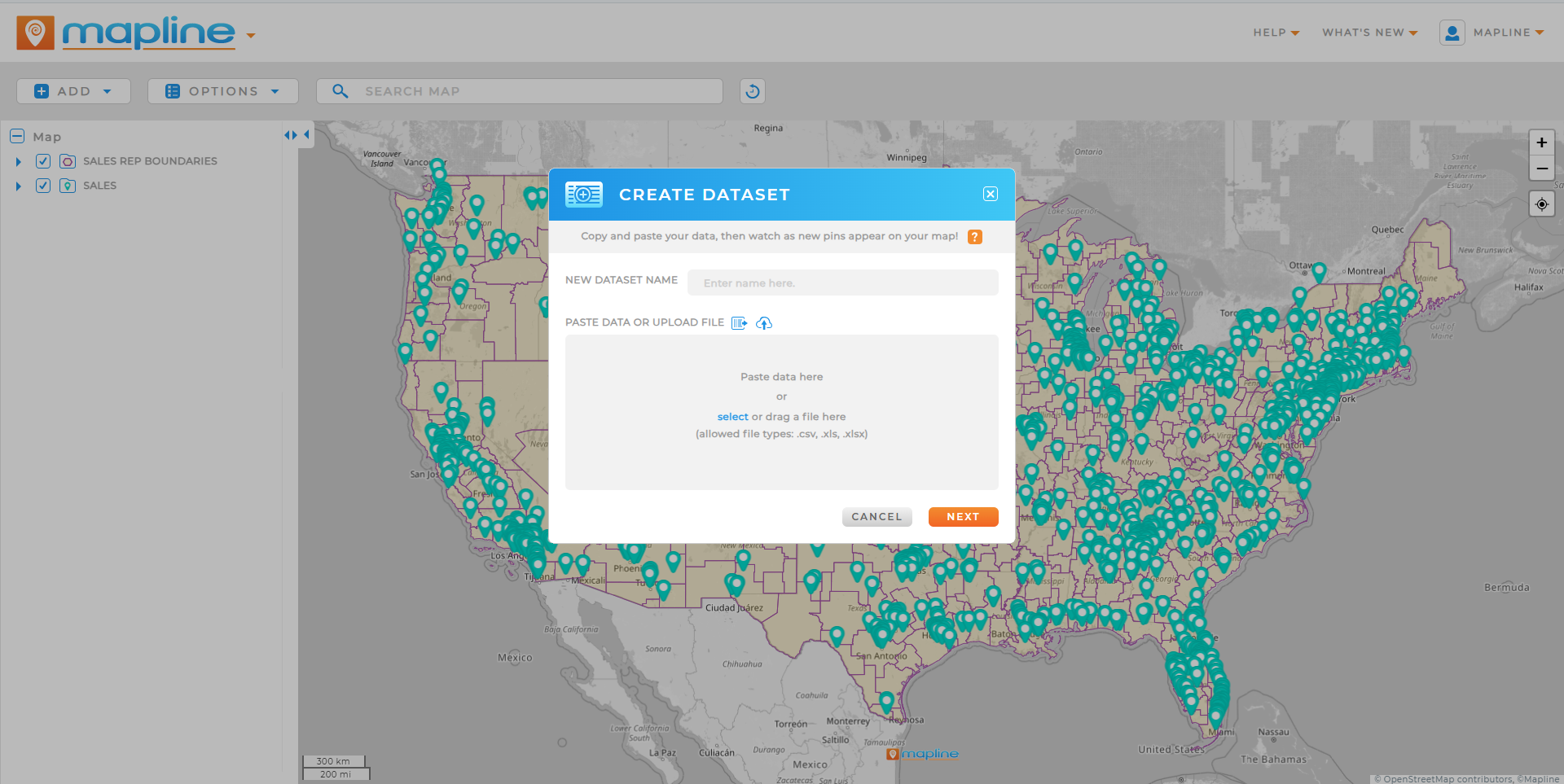
Mapline’s Geo Mapping software is designed for speed, simplicity, and business impact. Unlike legacy systems that require GIS training or steep onboarding, Mapline transforms spreadsheets into interactive maps in seconds. You can layer in demographic data, automate territory boundaries, filter by custom attributes, and even optimize routes—all from a clean, browser-based interface. It’s built for teams that want geographic intelligence without technical overhead. Whether you’re plotting a few dozen pins or managing nationwide operations, Geo Mapping makes spatial analysis accessible to everyone on your team.
Comparison: Basic GIS Tools vs Mapline’s All-in-One Geo Intelligence
Here’s how Mapline stacks up against traditional GIS programs in terms of usability, performance, and business value:
| Feature | Traditional GIS (e.g., ArcGIS, QGIS) | Mapline |
|---|---|---|
| Ease of Use | Requires training or technical knowledge | No-code platform; learn in minutes |
| Cloud Access | Mostly desktop-based | Fully cloud-based; access maps from anywhere |
| Territory Mapping | Manual or plugin-dependent | Built-in with workload balancing and optimization |
| Geospatial Analysis | Scripted tools or custom workflows | One-click heat maps, radius searches, and more |
| Collaboration | Limited unless customized | Share live maps and dashboards with team roles |
| Support & Setup | Slow onboarding; technical setup | Self-serve or white-glove onboarding in days |
While other tools may offer individual features, Mapline consolidates everything into one powerful, intuitive GIS platform built for today’s fast-paced teams.
Real-World Uses for GIS Mapping Programs
GIS software isn’t just for mapmakers; it powers smarter decision-making across nearly every industry. Here’s how businesses use Mapline’s GIS tools today:
- Retail & Franchise: Use geo mapping tools to define territories, track store performance, and analyze regional sales trends.
- Logistics & Supply Chain: Build service zones, optimize delivery regions, and map real-time asset locations for efficient operations.
- Healthcare & Public Sector: Map patient density, healthcare access, or emergency zones using geospatial mapping tools.
- Agriculture & Land Management: Visualize property boundaries, environmental risks, and crop yield trends on interactive maps.
- Sales & Marketing: Segment customer locations, launch geo-targeted campaigns, and forecast demand by region.
From daily operations to strategic planning, GIS software gives teams the spatial awareness they need to act faster, smarter, and with greater accuracy.
How to Choose the Right GIS Platform for Your Needs
Choosing the best GIS platform comes down to matching features with your team’s real-world goals. Ask yourself:
- Do I need to create and edit maps regularly?
- Is cloud access or team collaboration important?
- Do I need free GIS software, or enterprise-grade capabilities?
- Will I be analyzing data, forecasting, or just visualizing locations?
- How technical is my team—can we manage a complex GIS program?
If you’re looking for a tool that’s powerful, fast, and accessible to both analysts and business users, Mapline delivers the best of both worlds—ease of use and advanced geospatial intelligence in one streamlined platform.
Pro Tips for Getting Started with GIS Tools
Getting started with GIS tools doesn’t have to be overwhelming. Whether you’re brand new to mapping or transitioning from a legacy platform, the key is to start with simple, goal-driven actions. Many teams dive into GIS thinking they need complex datasets or coding knowledge, but the most impactful insights often come from visualizing the data you already have. With intuitive platforms like Mapline, you can go from spreadsheet to strategic map in minutes. These tips will help you avoid common pitfalls and get the most out of your GIS software, right from day one.
- Start with a goal. Know what problem you’re solving—mapping for clarity, forecasting for growth, or optimization for efficiency.
- Use real data. Upload your spreadsheets, CRM exports, or customer lists to see how location reveals new insights.
- Test multiple layers. Try combining sales data, population demographics, and delivery zones for a fuller picture.
- Don’t overcomplicate it. You don’t need to learn Python or install GIS plugins. Tools like Mapline remove the technical roadblocks.
- Leverage support. Mapline’s team offers free onboarding and support to help you hit the ground running.
Level-Up Your Analytics with the Best GIS Software for 2025
GIS software has become a must-have for organizations that want to move beyond spreadsheets and static charts. But the real power comes from choosing a tool that makes location intelligence accessible to your whole team. With Mapline, you’re not just getting GIS mapping—you’re getting real-time dashboards, territory optimization, and geospatial forecasting in a single, user-friendly platform. Whether you’re a startup or a national enterprise, Mapline gives you the clarity, control, and speed to make smarter decisions, every day.
QGIS is the most powerful free GIS software, but it has a steep learning curve. For simpler use cases, Mapline’s free tier provides a fast, easy way to map and analyze spatial data.
Geospatial software often refers to tools that analyze any kind of spatial data, including satellite imagery and GPS. GIS is more specific to location-based mapping and geographic analysis.
Traditional GIS tools can be complex. Mapline is designed for non-technical users and can be learned in under an hour.
Absolutely. Businesses use GIS to define territories, analyze customer locations, optimize routes, and forecast demand.
Both offer strong capabilities, but ArcGIS is better for technical use cases, while Maptitude is more business-oriented. However, Mapline offers a cloud-based alternative that combines power, ease of use, and collaboration in one platform.


