- Blog
- Geo Mapping
- Plot Locations on a Map with Free Tools
When trying to plot locations on a map, many people hit a wall, especially when plotting more than just a few. If you’re managing addresses in a spreadsheet and struggling to visualize them, you’re not alone. Whether you’re planning deliveries, mapping customers, or organizing field visits, seeing your data on a map can transform how you work.
The challenge? Most tools, like Google Maps, aren’t built for bulk uploads or customization. That’s where dedicated mapping tools like Mapline come in, making it easy to plot hundreds—even thousands—of addresses, zip codes, or GPS coordinates at once.
What to Expect When You Plot Locations on a Map with Free Tools
There are plenty of online tools that claim to help you plot locations on a map, but they don’t all offer the same experience. Some limit you to ten or twenty addresses. Others won’t accept Excel uploads or can’t interpret GPS coordinates. And while Google Maps is a household name, even its advanced tools like My Maps have strict upload limits and no built-in way to filter or group your pins once added.
For basic use cases, like mapping multiple locations on Google Maps for a vacation or event, it might be fine. But if you’re working with real business data, you’ll quickly hit roadblocks. That’s why teams looking for more control, more capacity, and more options turn to tools like Mapline.


Pro Tip: If you’re still relying on spreadsheets or CRM filters to manage rep coverage, you’re likely leaving efficiency—and revenue—on the table. Territory mapping software doesn’t just make your sales maps prettier—it gives you real-time control, visual clarity, and data-driven insights that CRMs can’t match.
Mapline’s Geo Mapping make it easy to import your existing data, draw or auto-build regions, and balance workloads in minutes. Try building a few sample territories today to see how much smoother planning can be.
How to Plot Locations on a Map from Excel, CSV, or Coordinates
Mapline lets you skip the headaches and go straight to visualizing your data. You can upload a simple spreadsheet (no formatting wizardry required) and start plotting locations on a map instantly. Whether your data includes addresses, zip codes, or GPS coordinates, the platform will read the columns and place each point on the map where it belongs.
This flexibility makes it a favorite for operations managers, sales leaders, and anyone who’s tired of manually entering each address into Google Maps. Plus, you can apply filters, customize your pins, and group your data by region, rep, or priority—something you won’t find in most free tools.
Best Free Tools to Plot Multiple Addresses on a Map
Let’s look at some of the most common tools people use when they want to plot multiple locations on a map, and how they stack up. Not all free mapping tools offer the same level of functionality, and the differences become clear as your dataset grows or your needs become more complex. Some platforms are quick and simple for small projects, while others provide deeper customization and scalability for business use. We’ll highlight what each tool does well, where it falls short, and which ones are best suited for plotting multiple locations efficiently. If you’re comparing options for a personal project versus a professional workflow, this breakdown will help you make the right choice.
Plot Locations on a Map with Google My Maps
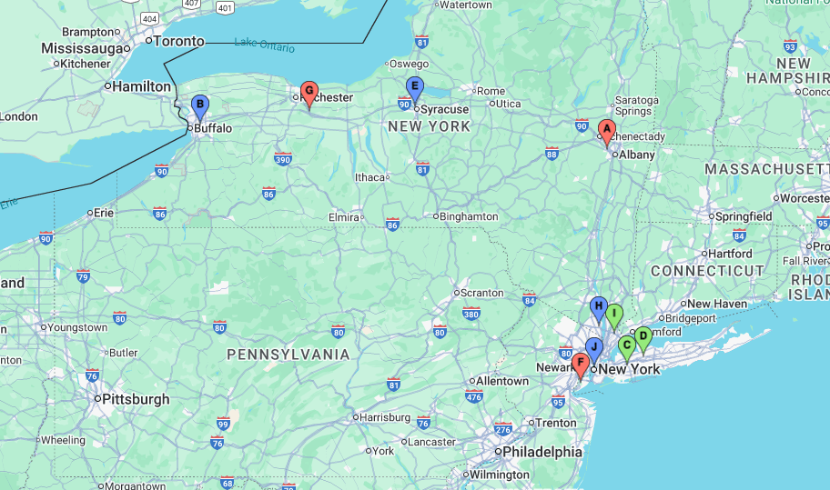
Google My Maps allows users to plot up to 10 layers of data with a 2,000-line limit per layer. It’s a decent start for personal use, but struggles with larger datasets. You’ll also need to format your file a certain way and won’t have options like filtering, routing, or zip code overlays. Once your points are on the map, there’s little room for analysis.

Plotting Basic Locations with BatchGeo
BatchGeo lets you copy-paste spreadsheet data and create basic pin maps. It’s fast and simple, but limits apply unless you upgrade. The platform doesn’t offer route optimization or advanced filtering, and custom branding is reserved for paid tiers.

Plot Bulk Locations on a Map in Seconds with Mapline
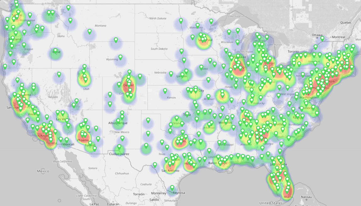
Mapline stands out for users who want to create a pin map and build on it. The free plan supports spreadsheet uploads, coordinate plotting, and custom pin styling. You can filter by data columns, create groups, and overlay territories. It’s built for scalability—from solo users to enterprise teams—and includes advanced options like route planning, live dashboards, and map sharing.
If your goal is to plot multiple locations on Google Maps but you’re limited by features or formatting, Mapline provides the flexibility you need without requiring a paid plan upfront.

Pin Mapping Features That Save Time
When you use a platform designed for business mapping, it’s not just about pin placement—it’s about making your data work for you. Once you plot locations on a map in Mapline, you can:
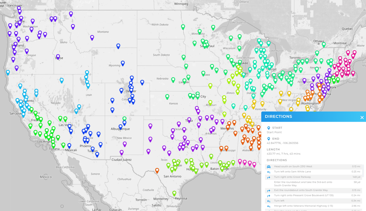
- Group pins by category, region, or status
- Color-code pins based on custom rules
- Filter to show only key locations
- Overlay boundaries like zip codes or sales territories
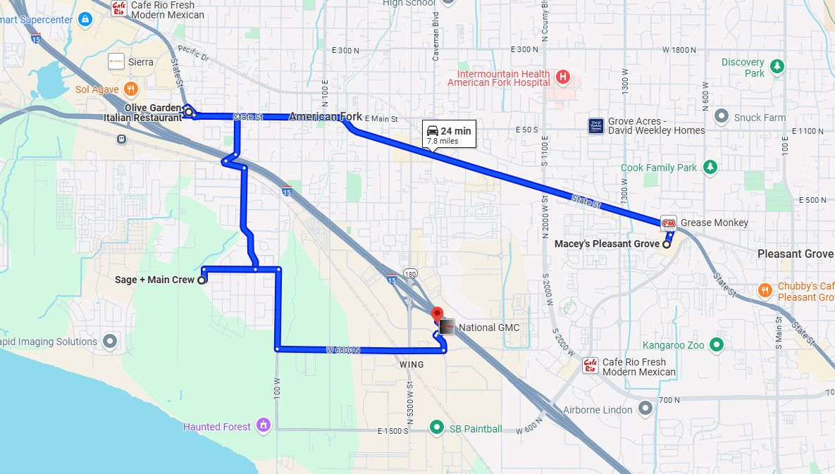
- Route visits between multiple pins with one click
These features streamline planning and help your team act faster—whether you’re managing deliveries, monitoring sales coverage, or planning events. You can even share your map with others via link, embed it in a dashboard, or export it for reporting.
Plotting GPS Coordinates for Remote or Non-Address Locations
Not every data point comes with a clean address. Sometimes, you’re working with latitude and longitude—especially for job sites, service areas, or rural locations. That’s where a GPS coordinate plotter becomes essential. Tools like Mapline allow you to upload datasets that contain decimal coordinates and instantly see those points on a live map.
You can even combine GPS points with standard addresses in a single map, so you don’t have to choose between one format or the other. It’s ideal for utility mapping, equipment tracking, agriculture, or any field-based operations where locations aren’t tied to a mailing address.
When You Need a Customizable Map with Pins
There’s a big difference between plotting points and building a tool your whole team can use. If you want to add pins to a map and keep control over how it looks and functions, customization matters. With Mapline, you can choose how pins behave, what fields display when you click, and how the map responds to filters or drilldowns.
Need to highlight top-performing reps? You can. Want to turn off certain pins or reassign them between managers? Easy. This makes it more than just a visual—it becomes a command center for your data.
You can, but it’s limited. Google My Maps allows bulk uploads, but with strict row limits and no filtering or route tools.
Mapline offers a free plan that lets you upload Excel files, plot hundreds of locations, and customize your map without writing code.
Mapline can plot pins using latitude and longitude values directly from your spreadsheet, no extra formatting required. You can also integrate Mapline with your existing systems to ensure fast, seamless data syncing across tools.
It depends on the tool. Mapline scales with your plan, but even free accounts can handle significantly more locations than tools like Google My Maps or BatchGeo.
Yes. Mapline lets you generate share links, embed maps, or export static versions for reports and presentations.


