
Map Iraq Districts for Spatial Analysis in the Oil and Gas Industry
What Makes Territories Stand Out Among the Rest?
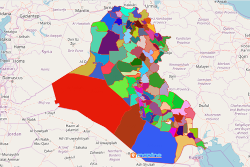
Government and business leaders in the oil and gas industry leverage geographic information as they map Iraq districts. Using smart mapping tools such as heat maps, they are able to identify in broad spectrum which district territories are doing better than the other. Iraq, a country located in Western Asia, is divided into 120 districts. Spatial analysis is an important component when making decisions and plan implementation. Whether it is about site selection, understanding land management data, or learning on routing pipelines. They can never go wrong with using Mapline.
As they map districts of Iraq with mapping tools like network coverage, they are able to extract insights which are best utilized for site selection. Network coverage is a way to visually analyze the surface drilling constraints. It also provides dynamic visuals to evaluate district territory areas for planning processes. Equally important mapping tool in the industry is routing software. For most companies, the optimal pipeline route is essential when considering geographical hazards. Mapline’s advanced route planner helps to identify the most achievable or suitable pipeline route.
Explore More Opportunities on a District Map of Iraq
Create a map in less than a minute and begin using powerful mapping tools to explore more opportunities for the oil and gas industry.
- Create a Mapline account and login.
- Click the orange “Add New Items” button.
- Select “New Map” on the drop down arrow.
- Give your map a name and click “OK.”
- Click the “Add” button from the left sidebar.
- Select the “Territories” option.
- Click “From Mapline’s Repository.”
- From the “Territories” select “Iraq Districts.” Use the search bar for quicker results.
- Select how you want your boundaries to be colored in “Fill Color” (Random Colors, Uniform Color, or Custom Colors From Spreadsheet).
- Click “OK.”
Map Iraq districts and analyze each territory even further by using more mapping tools. Sign up now and let these powerful analytic tools drive decisions and performance beyond your expectations.