NICARAGUA MUNICIPALITIES
- Territory Guide
- NICARAGUA MUNICIPALITIES
A map of Nicaragua municipalities is a great tool to help you dive deep into an ocean of analytics that will transform your approach to business operations. With this precise territory map, you can uncover intricate details and regional trends at a glance, turning ideas into actionable insights that propel your ROI to new heights. Analyze insights within these boundaries to build smarter decisions that lead to your business success!
Ready to intensify this capability? Then, strap in as we embark on a journey to seamlessly integrate Nicaragua municipalities into your map in seconds!
WHAT ARE NICARAGUA MUNICIPALITIES?
Wield the power of precise municipal mapping across Nicaragua. It’s a key to unlocking insights that help elevate your business analysis. With Nicaragua’s 153 municipalities clearly defined, you can easily visualize the strengths, opportunities, and potential threats that could impact your business. Knowing the fine distinctions of each municipality can make or break your strategy. Whether you’re aiming for ideal locations for expansion, or identifying areas where competition is stiff, this level of analysis is crucial.
For a business analysis that hits the mark, municipality-level mapping offers unparalleled focus. Ready to supercharge your planning? Mapping Nicaragua’s municipalities is as easy as clicking a few buttons. Let’s dive into how this powerful approach can transform your business strategy!
ADD NICARAGUA MUNICIPALITIES
Access a panoramic view of your sales territories and operational reach just by overlaying the municipal boundaries! This detailed perspective lets you pinpoint opportunities and challenges and immediately craft strategic plans.
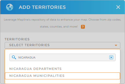
Let’s dive into how this integration can elevate your strategy planning by adding a new territory from Mapline’s repository, type NICARAGUA into the search bar, and choose to add NICARAGUA MUNICIPALITIES.


Pro Tip: Mapline’s extensive repository is a powerhouse of territory boundaries that you can readily access to add to your map. Add different territories, including Nicaragua departments and municipalities to your map, to discover the most effective approach for your business.
CHOOSE MUNICIPALITY COLORS
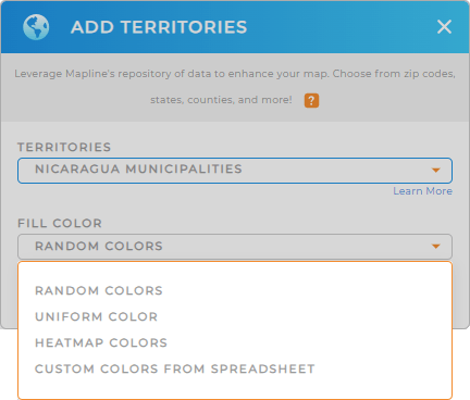
Now, it’s time to apply territory colors. Colors empower you to identify patterns in your territories and data that may have been previously hidden in your spreadsheets. Make your municipality boundaries a powerful visualization that lets you capture insights for informed decisions.
Select the right color styles that match your type of analysis. Lastly, click OK.
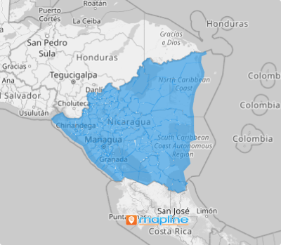
Now, you’ve just enhanced the power of your map of Nicaragua municipalities, making it more seamless to analyze data and make informed decisions at a glance.

GET NEW TERRITORY INSIGHTS
Discover fresh insights previously hidden in your data when you adopt these capabilities:
- Visualize trends and patterns in your data
- Dive into powerful automations that supercharge your operations
- Craft location-driven marketing campaigns for local conditions


