SENEGAL ARRONDISSEMENTS
- Territory Guide
- SENEGAL ARRONDISSEMENTS
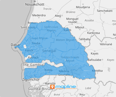
Catalyze a remarkable transformation in your business analysis and strategy by leveraging a map of Senegal’s arrondissements for your data analysis. Unlike broader territories like regions or provinces, most brands focus their analysis on arrondissements because of their smaller size, which reveals more targeted insights. This granular approach allows you to pinpoint challenges and opportunities with greater precision. By mapping arrondissement boundaries, you can uncover a wealth of insights that align and optimize your business strategies and operations.
Discover the power of arrondissement territory maps and see how they can elevate your decision-making to the next level.
WHAT ARE SENEGAL ARRONDISSEMENTS?
Senegal, the westernmost country in Africa, is divided into 133 arrondissements, each offering a unique lens for granular analysis. These territorial divisions are invaluable tools for organizations aiming to uncover hyper-local insights. If you’re leading a sales team, arrondissement-level analysis can be your secret weapon. By analyzing customer demographics within each boundary, you can tailor your marketing campaigns with precision and position your brand more effectively. Leveraging these detailed insights allows you to connect with your audience on a deeper level, ensuring your strategies resonate and your brand presence stands out in the competitive landscape.
Let’s dive into how it works!
ADD SENEGAL ARRONDISSEMENTS
Unlock the full potential of your map of Senegal arrondissements! What a great way to analyze the spatial distribution of your data with precision! Glean location insights into hyper-local trends and patterns to improve sales performance and enhance marketing campaigns.
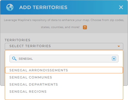
To get started, add a new territory from Mapline’s repository. Type SENEGAL into the search bar. Click to add SENEGAL ARRONDISSEMENTS to add the territory to your map.
One last step and we’re done.


Pro Tip: Mapline’s territory repository provides an array of territories for Senegal. Leverage Senegal’s territory boundaries including Senegal communes, Senegal departments, Senegal regions, and Senegal arrondissements for strategic decision-making, target marketing, and optimized logistics.
CHOOSE ARRONDISSEMENT COLORS
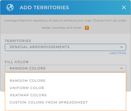
Analyze faster than ever the moment you apply territory colors. Whether you’re visualizing customer demographics, or highlighting regional performance metrics, you can never go wrong with territory colors.
Choose the right color styling to help you uncover valuable insights at a glance.
Lastly, click OK and you’re good to go!

GET NEW TERRITORY INSIGHTS
Now leverage these powerful capabilities to get the most out of your analytics:
- Calculate key metrics to understand market saturation
- Pull in any territory data to uncover location-relevant insights
- Automate trip planning so you never waste time on another visit


