As we kick off 2024, we’re thrilled to introduce a set of powerful new features. Say hello to advanced map styling, incredible dashboards, and new Mapline Data features that bring a new level of precision to your data analysis and operations.
Let’s dive in!
STYLING UPGRADES
Pin and territory styling got a serious upgrade last October, but we’re back with even more improvements!
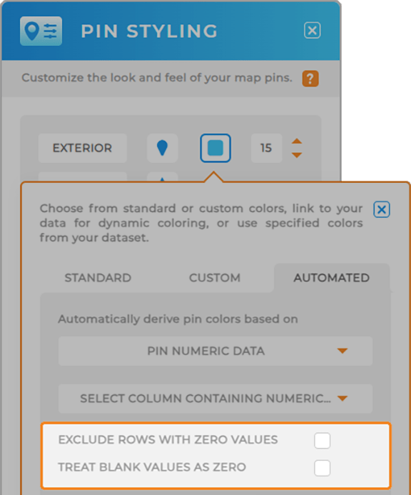
Now, when you’re dynamically stying map pins and territories, you can tap into the following capabilities:
- Exclude Blank Values: Exclude any dataset values that are blank.
- Exclude Zero Values: Exclude any dataset values that equal zero.
For example, say you’re a retail chain analyzing sales performance across multiple stores. By excluding blank or zero values, you can pinpoint stores with significant sales figures and identify areas for improvement, optimizing your sales strategy for maximum profitability.
This is just one more way that Mapline cleans up your data for you, so you can get the best insights possible.

Boost Your Dashboard Metrics
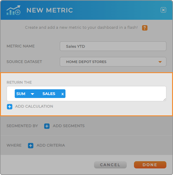
Metrics are already a powerful way to visualize data on your Mapline dashboards. But now, you can leverage formulas right within your metrics!
Whether you want to calculate a count or sum, or write more advanced formulas, this is a powerful way generate highly-specific insights, all in one place.

Show Geocode Status
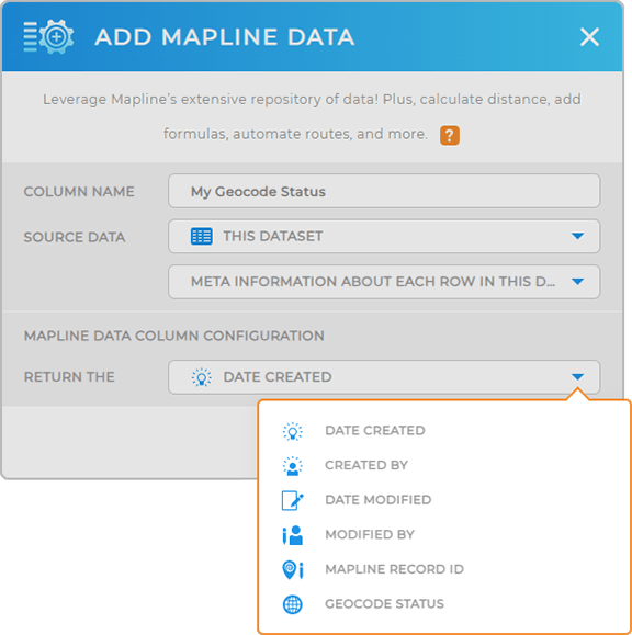
Have you been wanting to see geocode status in your datasets and visualizations?
Now, you can! Mapline Data automatically adds geocode status to your datasets, so you always have access to the most up-to-date information.
Tap into the most accurate location data, communicate more effectively with your team, and ensure customer satisfaction every single time.
Woah, that’s some powerful stuff!

Auto-Record Latitude & Longitude
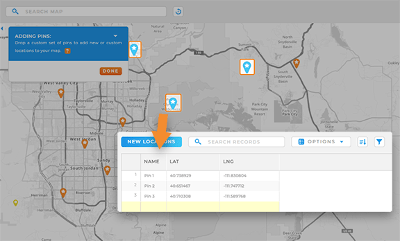
Now, when you place pins one by one, the latitude and longitude are automatically added to your pin dataset.
Why is this such a game-changer?
Imagine you’re a field researcher in a remote area without physical addresses. With automatic latitude and longitude addition, you can effortlessly drop pins at key locations, creating a comprehensive dataset you can easily reference later.
It’s a seamless and efficient way to capture precise location data, making Mapline even more versatile.

Custom Form Ratings
If you use ratings in forms, get excited! This one is going to be super useful.
Now, add sliders to your forms to give users a visual representation of the rating they’re submitting. You set the default values on the back end, enabling you to still collect a numerical value.
But to the end user, the rating question is super sleek and easy to use.
Woah, that’s cool!


