- Blog
- Geo Mapping
- How Mapping Government Boundaries Enhances Your Business Strategy
Government boundaries aren’t just lines on a map—they’re the framework that shapes everything from sales territories to service coverage and market growth potential. Understanding how these boundaries influence your business decisions can help you allocate resources, identify untapped opportunities, and stay compliant with regional regulations. Whether you’re a data analyst, sales leader, or strategist, government boundary maps give you the precision and clarity you need to move with confidence.
Why Government Boundaries Matter in Business
Every business operates within a web of political and administrative borders—counties, ZIP codes, legislative districts, and more. By mapping these boundaries, you can better understand how geography intersects with market performance and population distribution. Government boundary data helps teams define territories, monitor performance by region, and align strategy with the realities of local governance. It also ensures fair representation in sales coverage and marketing reach, helping you stay both efficient and equitable.


Pro Tip: Leverage Geo Mapping to combine government boundary layers with demographic or sales data to reveal where potential overlaps—or underserved regions—exist. The most actionable insights come when geography and performance data meet.
Types of Government Boundary Maps
Government boundary mapping isn’t one-size-fits-all. Depending on your goals, you might need to visualize different types of divisions—each offering unique strategic insights. From ZIP codes that reveal customer clusters to legislative districts that show how policy changes may affect operations, each layer of geography tells a different story. The best mapping software makes it easy to layer these boundaries with your own data, uncovering trends that spreadsheets can’t show. Mapping these boundaries helps you see not only where your business is active, but also how external factors like regulations or population density might shape performance. Whether you’re optimizing sales territories, planning expansion, or monitoring compliance, choosing the right boundary type is the key to meaningful analysis.
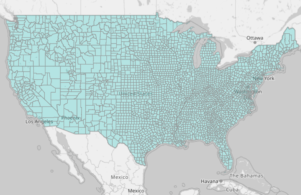
County Maps
A county map offers a high-level view of administrative regions within a state. For businesses managing multi-state or regional operations, county boundaries provide a clear framework for tracking performance metrics, setting delivery zones, and coordinating service routes.
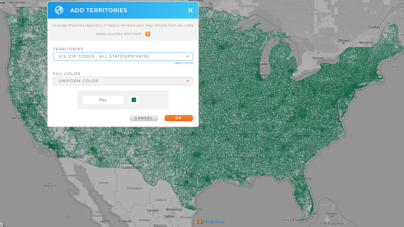
ZIP Code Maps
ZIP code maps help businesses refine logistics, segment customers, and manage localized marketing efforts. They’re essential for delivery services, retail expansion, and data analysis tied to postal geography. With Mapline, you can visualize ZIP code performance in seconds—no manual formatting required.
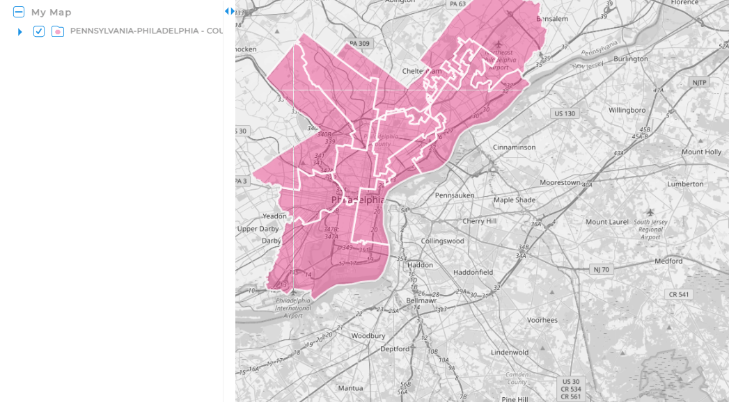
City Council and Local Government Boundaries
Mapping city council boundaries and local government boundaries provides critical insight into how local policies and zoning decisions affect your operations. These maps can highlight where to focus advocacy, community partnerships, or compliance efforts when planning new projects or facilities.
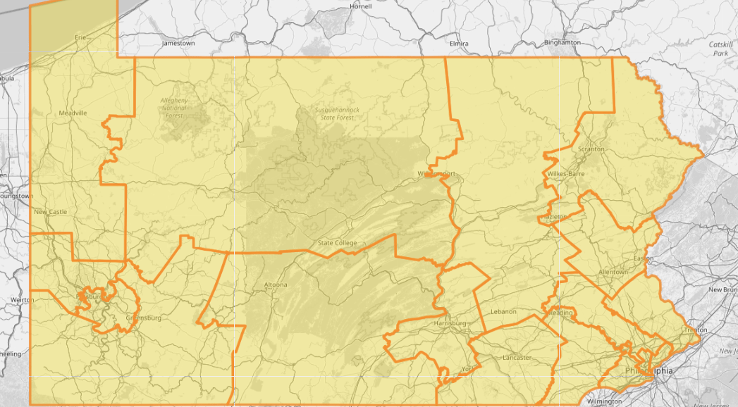
US Congressional District Maps
US congressional district maps show how representation divides across regions, giving government relations and public affairs teams the visibility they need to align outreach strategies. Businesses that depend on public funding, regulation, or advocacy can use these maps to anticipate policy changes and communicate more effectively with local representatives.
US Legislative District Maps
Similar to congressional maps, U.S. legislative district maps show boundaries within state legislatures. These are especially useful for companies working on state-level projects, bids, or compliance initiatives. Understanding district lines ensures your strategy reflects local decision-making structures and voting patterns.
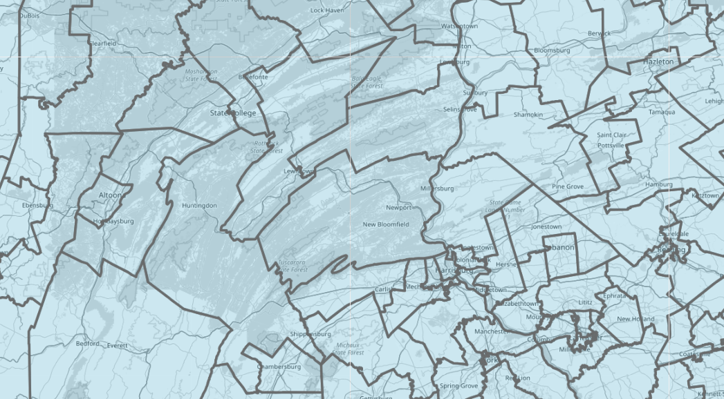

Pro Tip: Tap into Mapline’s worldwide repository of government and administrative boundaries to build detailed regional maps. Visualize how various boundaries and divisions influence performance, operations, and strategic decisions.
Using Government Boundaries to Strengthen Business Strategy
Mapping government boundaries helps unify your organization around data-driven territory insights. Instead of guessing how administrative borders affect your reach, you can visualize them alongside your performance metrics, customer locations, and demographic data. That combination reveals hidden growth areas, ensures efficient territory assignments, and keeps your operations aligned with jurisdictional rules.
For example, a healthcare organization might overlay county boundaries with patient density to ensure equitable coverage. A logistics company could use ZIP code and city council boundaries to fine-tune delivery routes. Even a national sales team can use congressional district maps to align regional management with population data and infrastructure changes.
When you build a map with government boundaries in Mapline, you’re not just drawing lines—you’re creating clarity. Each layer helps you see how policy, geography, and opportunity intersect in real time.
Layer Multiple Boundaries with Ease
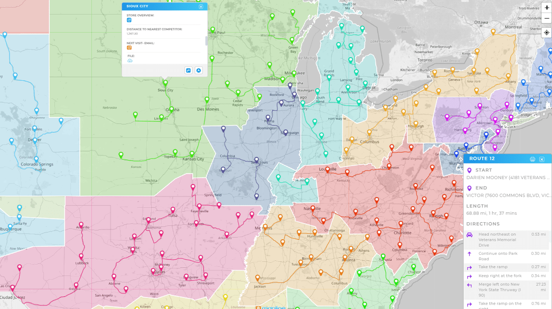
Mapline lets you combine county, ZIP code, and district boundaries in a single view—so you can analyze how different levels of government and geography affect your business operations. This multi-layer visibility helps you identify overlaps, inefficiencies, or untapped opportunities that are invisible in spreadsheets or static maps.
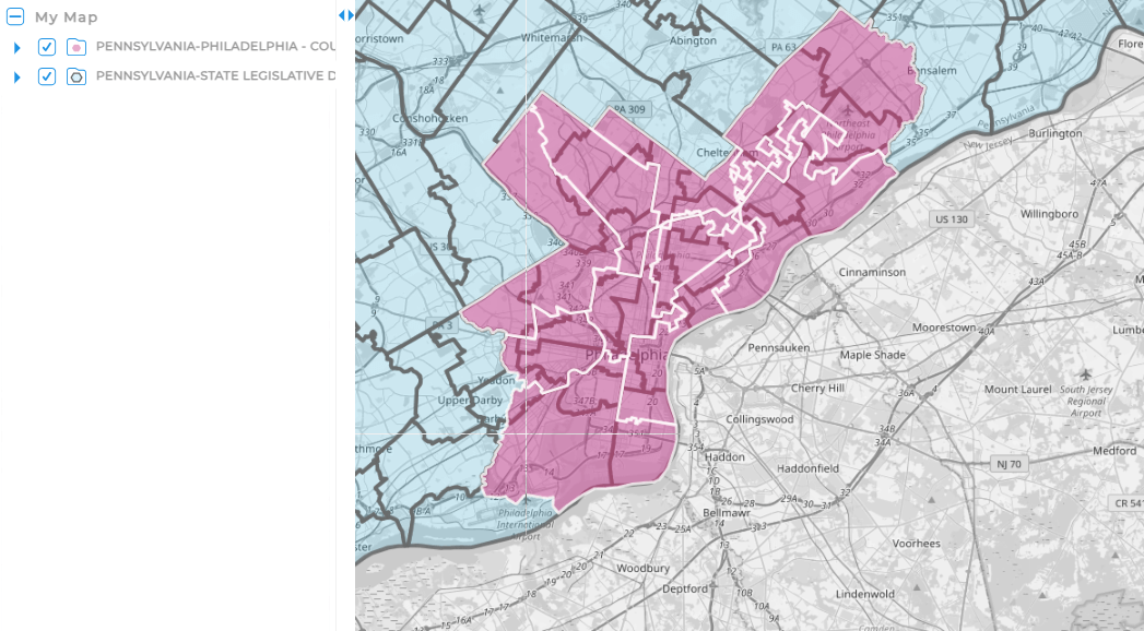
Connect Data to Policy Insights
Government boundaries often define how regulations and incentives apply. With Mapline, you can overlay these boundaries with internal data to anticipate how new legislation or local ordinances could impact your locations, workforce, or customer base. It’s a powerful way to keep strategy aligned with policy shifts.
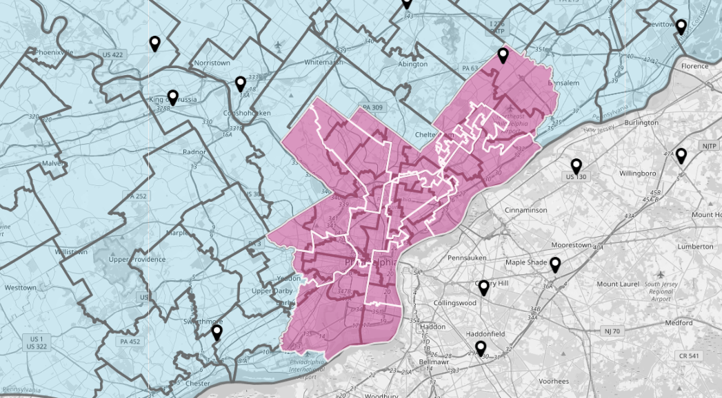
Optimize Operations Across Jurisdictions
For businesses operating in multiple cities or states, jurisdictional boundaries can complicate logistics, taxes, or compliance. Mapline’s precision mapping tools make it easy to manage routes, deliveries, and assets within those boundaries—minimizing risk while improving operational efficiency.
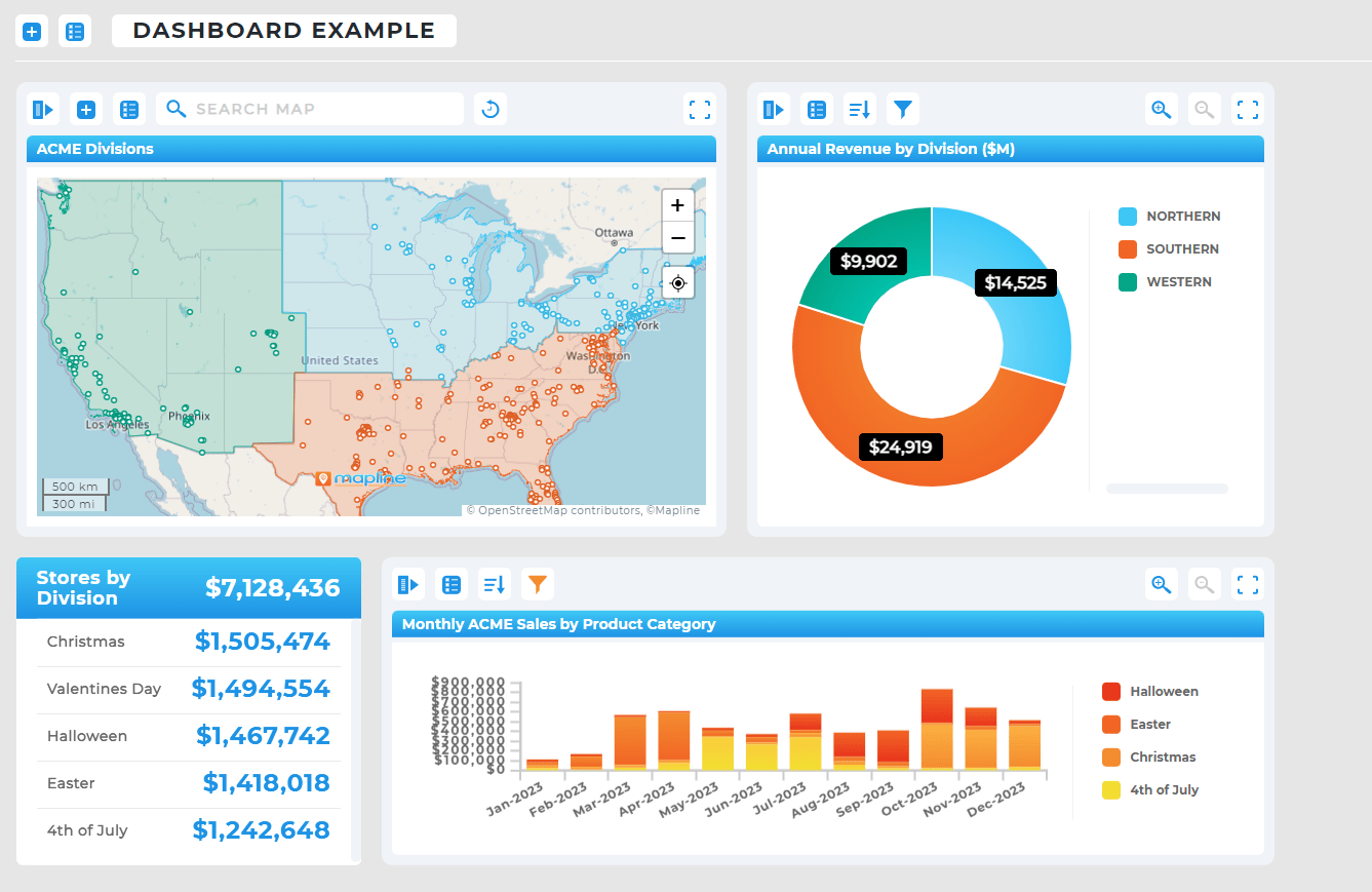
Empower Teams with Custom Visualization
Different departments need different perspectives. Mapline enables users to customize views, toggle boundary layers, and filter by metrics that matter most—like revenue, service area, or coverage gaps. Everyone, from analysts to executives, can see the same data from a lens that suits their role.

Scale Seamlessly as You Grow
Whether you’re analyzing a single metro area or mapping national territories, Mapline’s cloud-based platform scales effortlessly. You can start small with city boundaries and expand to legislative or congressional districts as your business footprint grows—all while maintaining the same simple, intuitive interface.
Make Smarter, More Strategic Maps
Mapline makes it simple to add and customize government boundaries to any map. Layer in county maps, ZIP code maps, legislative districts, or city council boundaries in just a few clicks. Once your boundaries are in place, you can segment pins, filter performance, or export data—all within one streamlined platform.
These capabilities turn static maps into dynamic planning tools that connect high-level strategy with day-to-day execution. Whether you’re planning sales territories, assessing service gaps, or monitoring political impacts, government boundary mapping keeps your team aligned and proactive.
You can map a wide variety of boundaries, including city council districts, county lines, ZIP codes, US congressional districts, and state legislative districts. These can all be layered with your own business data for deeper analysis.
Mapping government boundaries helps sales and operations teams define fair, logical territories. For example, you can assign reps based on county or city lines to balance workloads and ensure full coverage without overlap.
Yes. Local laws, taxes, and regulations often vary between jurisdictions. By visualizing where these boundaries lie, you can ensure your business complies with all local requirements and avoid legal or operational issues.
ZIP codes are designed for postal delivery, while government boundaries define political or administrative regions. Using both together provides richer context—especially for comparing logistics, demographics, and regulatory impact.
Absolutely. Mapline allows you to layer multiple types of boundaries (such as counties, ZIP codes, and legislative districts) on a single map. This makes it easy to visualize how they interact and affect your business strategy.


