What Most People Mean by “Online Mapping Software”
For many teams, online mapping software starts as a way to answer a simple question: “Where are our locations?”
At the most basic level, these tools allow you to:
- Upload a spreadsheet
- Plot locations as pins
- Share a map link with others
For lightweight use cases—like visualizing event locations, store lists, or basic customer distribution—this can be enough. The problem is that many tools stop there.
As soon as businesses need to analyze, optimize, or operate based on geography, basic mapping tools become bottlenecks instead of solutions.

Pro Tip: If your mapping tool forces you to export data just to answer basic operational questions, it’s not a long-term solution—it’s a temporary visualization layer.
Category 1: Basic Pin Mapping Tools
These tools focus almost entirely on plotting locations on a map.
What they do well
- Quick setup with minimal learning curve
- Simple pin visualization
- Easy sharing for one-off use cases
- Pins are largely static and disconnected from deeper analysis
- Little to no support for territories, routing, or reporting
- Manual updates as data changes
- No way to scale as datasets grow or workflows become more complex
These tools are useful for visual reference, but they’re not designed for decision-making.

Category 2: Spreadsheet-to-Map Tools
This group builds slightly more capability on top of pin mapping by leaning heavily on spreadsheets.
What they do well
- Familiar with Excel or Google Sheets workflows
- Basic filtering and grouping
- Faster onboarding for non-technical users
- Analysis still lives outside the map
- Manual exports for reporting or comparisons
- Limited automation
- Performance issues as data volume increases
In practice, teams end up bouncing between spreadsheets and maps, reconciling mismatched views instead of working from a single source of truth.

Category 3: CRM-Dependent Mapping Tools
Some mapping tools live entirely inside a CRM ecosystem.
What they do well- Native access to CRM records
- Familiar environment for sales teams
- Basic territory and route visualization
- Locked into a single data source
- Limited flexibility outside CRM objects
- Complex setup and maintenance
- Often require add-ons for routing, analytics, or automation
These tools can work well for narrowly defined sales workflows, but they struggle to support cross-functional teams or broader operational use cases.
Category 4: GIS-Heavy or Enterprise Mapping Tools
At the opposite end of the spectrum are complex GIS platforms.
What they do well- Extremely powerful spatial analysis
- Advanced modeling capabilities
- Deep customization
- Steep learning curves
- Long implementation timelines
- Heavy reliance on specialists or consultants
- Overkill for most business users
For many organizations, these tools provide more complexity than clarity.

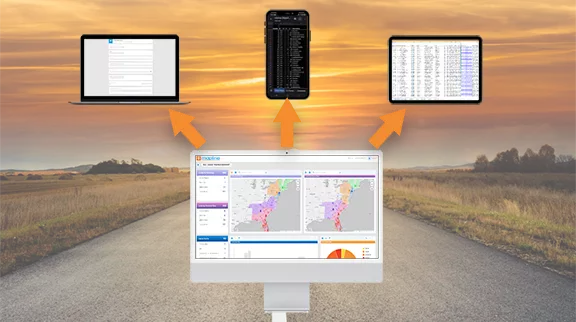
Maps That Stay Connected to Your Data

Territory Intelligence, Not Just Drawing Tools

Routing Built for Real Operations

Built-In Analytics and Dashboards

Automation and Connectivity
