Academics Mapping Software
Companies all over the world use Mapline. Companies like Amazon, Applebee’s, and Chase have all used Mapline in one aspect or another. GIS software is becoming increasingly more and more popular amongst business owners and businesses in general. We want to put the cart in front of the horse… in a good way! Get students mapping and change the way they interact with data. That way they can be prepared for their future jobs.
Market Research
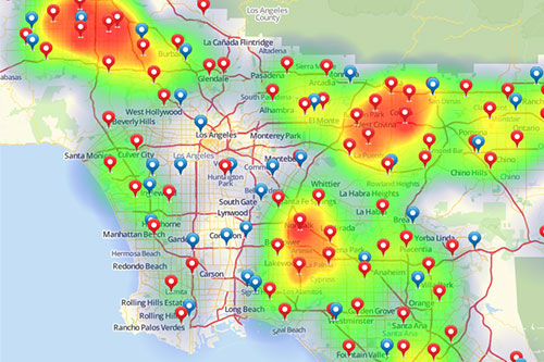
Sometimes you can afford to flood the market with advertisements. Usually, though, a more concentrated approach is prudent. Utilize heat mapping and customer segmentation to easily find out where the ideal target market lives. Because the last thing you to do want is spend money where your “hate group” is.

Supply Chain Management
Bad things happen. You can’t prevent them. However, you can plan for them! Utilize distance analysis, market demands, and data segmentation to know exactly where to send products or resources from. That way you can mitigate the potential drops in revenue as much as possible.
Political Science
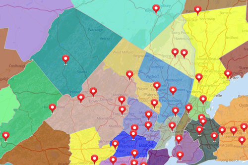
Government boundaries are here to stay. It’s wise to understand the people that live within them and what sort of impact they might have. Good thing we have you covered to do election projections, policy preferences, or something else! So take the guesswork out of it and utilize state, county, or zip code boundaries to find trends.
School Mapping Software for Administrators and Educators
Interactive mapping software can serve many purposes in the education industry. K-12 administrators may need to view school district boundary maps; higher education admissions officials may want to better understand their student population; and teachers at all levels can even use GIS software for students in the classroom.