
Improve Production Efficiency by Mapping South Africa Municipalities
The Enticing Effects of Mapping Municipality Boundaries
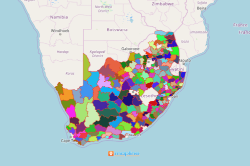
Mapping South Africa municipalities is something that agriculture experts and consultants do to assess the market-oriented agriculture economy. South Africa is located in the southeastern part of Africa. It is divided into 205 local municipalities. A map with Excel data of locations and municipal boundaries helps uncover new relationships between data that can be used to improve production efficiency. Hence, mapping proves to be a very useful tool particularly in assessing efficiency rates of agricultural productions.
When other mapping tools such as distance calculation and radial heat maps are applied during data analysis, they promote more significant ideas that can be used when planning for mitigating risks, optimizing output, and increase in production output. Overall, the map is an indispensable guide to lead the users on how to react proactively when dealing with difficult situations.
Improve Spatial Analysis Through Mapping Municipality Boundaries
Overlay municipality boundaries on a map for only a few seconds. After which, your map is ready to use for data analysis:
- Create a Mapline account and login.
- Click the orange “Add New Items” button.
- Select “New Map” on the drop down arrow.
- Give your map a name and click “OK.”
- Click the “Add” button from the left sidebar.
- Select the “Territories” option.
- Click “From Mapline’s Repository.”
- From the “Territories” select “South Africa Municipalities.” Use the search bar for quicker results.
- Select how you want your boundaries to be colored in “Fill Color” (Random Colors, Uniform Color, Dynamic heat map colors, or Custom colors from spreadsheet).
- Click “OK.”
Sign up now and start using more mapping tools to assist your organization and improve your production efficiency.