ARMENIA PROVINCES
- Territory Guide
- ARMENIA PROVINCES
Take your business from ordinary to extraordinary as you explore your insights on a dynamic map of Armenia provinces. When you can see exactly where your customers are and how they’re behaving, you’re not just reacting to the market—you’re controlling it. It’s like shifting into superhero mode—your strategies become sharper, your logistics smoother, and your marketing more precise.
Get ready to watch your analysis explode with insights and catalyze a transformation in your business that’s nothing short of remarkable! Let’s make that happen—right now!
WHAT ARE ARMENIA PROVINCES?
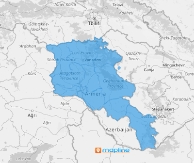
Armenia is a country in Western Asia. It is divided into 10 provinces. A province-level analysis is a great way to quickly learn the answers to “where,” “why,” and “how.” Visualizing the province boundaries on your map introduces you to more location insights that can help you run your business more efficiently.
If you want to win as a business leader, then start making this territory map as a vital part of your location analysis!
ADD ARMENIA PROVINCES
Achieve a solid foundation for informed decision-making once you integrate the province boundaries into your map. With a clear visual of the province boundaries on your map, you can gain valuable location-based insights to execute marketing strategies and keep your sales performance always on top of the competition.
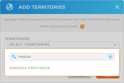
To add these provinces to your map, just add a new territory from Mapline’s repository. Type ARMENIA into the search bar to easily locate ARMENIA PROVINCES. Click to add it to your map.
That’s it! Now that you have the province territory added to your map, what’s next?


Pro Tip: Get access to Mapline’s worldwide territory repository to add territory boundaries including Armenia provinces to your map. Compare and contrast different types of administrative boundaries against your data to glean more insights and enhance your analysis
CHOOSE PROVINCE COLORS
The next step is to bring your territory map to life with color. Adding colors isn’t just about making your map look more impactful; it’s about unlocking deeper value from your data. When you apply colors based on your data, you transform your map into a powerful tool for uncovering location-based insights. These vibrant visuals make it easier to see trends, identify opportunities, and make informed decisions. By enhancing your map with color, you’ll elevate your decision-making and manage your sales operations more efficiently.
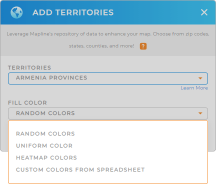
To color-code your map, choose the color styling that’s best for your type of analysis. Then click OK to finalize your selection.

GET NEW TERRITORY INSIGHTS
Now, make your map of Armenia provinces a wealth of new insights by leveraging these powerful capabilities:
- Run advanced calculations within your territories
- Segment your audience to unveil even deeper insights
- Create instant customer maps to craft spot-on marketing strategies


