
Mapping Armenian Provinces – Crucial to Industry-Based Data Analysis
Province-Level Map for Improved Data and Territory Analyses
Mapping Armenian provinces is an advantage for organizations in different industries. Armenia is a country in Western Asia. It is divided into 10 provinces which are further divided into 915 communities – 49 or which are urban while 866 are rural communities. Armenia’s economy is industry-based. Whether it’s chemicals, electronics, or machineries, you name it, Armenia has it! Thus, an Armenian map showing provinces allows the users to tap undiscovered patterns and insights.
Learn where, why, and how one province is prominent to one industry while another excels in different industries. Identify market opportunities for each province by segmenting data or create a dot density map.
Start Creating an Armenia Map Showing Provinces
- Create a Mapline account and login.
- Click the orange “Add New Items” button.
- Select “New Map” on the drop down arrow.
- Give your map a name and click “OK.”
- Click the “Add” button from the left sidebar.
- Select the “Territories” option.
- Click “From Mapline’s Repository.”
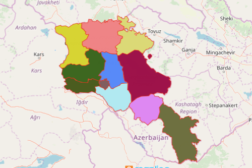
- From the “Territories” select “Armenia Provinces.” Use the search bar for quicker results.
- Select how you want your boundaries to be colored in “Fill Color” (Random Colors, Uniform Color, or Custom Colors From Spreadsheet).
- Click “OK.”
Mapping Armenian provinces is just that easy! Once you have your map, you can create a map of Excel spreadsheet locations to overlay on top. Mapline also makes it simple to see summary information about the locations inside each province just by clicking on them! Sign up now to customize your pins or your territories to maximize the full potentials of data and territory analyses.