
Empower a District Map of India for Data Analysis
Mapping Software for In-Depth Data Analytics
Do you know that you can analyze everything on your data on a district map of India? Whether you’re building sales territories, or performing market research, or creating business continuity plans, there are the perfect mapping tools that will guide you through. One tool that is proven helpful is customer data segmentation. Another tool that works all the time is measuring distances between locations. Doing so can help in identifying the perfect location for your business expansion. It also creates a powerful visualization that lets you see in an instant the endless possibilities for growth opportunities. For example, you identify areas where target customers frequently visit. Why? What’s in that area? Use the information to drive data-based solutions to grow your business.
Here’s another great tool – Mapline’s Route Planning Software. What it can do is that it gives you the power to schedule your work and travel itineraries ahead of time. In just a few minutes, you can bring your interactive India district map to life and know exactly where the next stop is. Explore all the possibilities that your data can bring to the table!
Mapping India Districts Made More Powerful
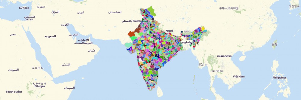
Creating a district territory map takes only a few seconds. It is designed to be that simple so that you’ll get your hands fuller on data analysis. Got some seconds? Begin mapping now!
- Create a Mapline account and login.
- Click the orange “Add New Items” button.
- Select “New Map” on the drop down arrow.
- Give your map a name and click “OK.”
- Click the “Add” button from the left sidebar.
- Select the “Territories” option.
- Click “From Mapline’s Repository.”
- From the “Territories” select “India Districts.” Use the search bar for quicker results.
- Select how you want your boundaries to be colored in “Fill Color” (Random Colors, Uniform Color, or Custom Colors From Spreadsheet).
- Click “OK.”
Let us help you unearth what your data on a district map of India has to offer. Sign up now and our team of professionals will be by your side to help you set up.