BARBADOS PARISHES
- Territory Guide
- BARBADOS PARISHES
Mapping out Barbados parishes can revolutionize how you manage your operations by providing clear, actionable insights. This territory mapping allows you to track performance in each parish, ensuring that resources are allocated where they will have the most impact.
See exactly where your teams are needed most, adjust your schedules to meet demand, and ensure nothing ever slips through the cracks. Let’s add Barbados parishes to your map and streamline your operations and workflows now.
WHAT ARE BARBADOS PARISHES?
Barbados is divided into 11 parishes, which are similar to counties or districts in other countries. Each parish represents an area that was once under the Church of England, but has now become an administrative region used for local government purposes. In colonial times, parishes were pivotal areas for cotton, sugar cane, and tobacco plantations.
Mapping these parishes can help you identify areas with frequent service requests or pinpoint your ideal target audience, allowing you to deploy your teams and strategies more effectively. Visualize service coverage and manage your operations more efficiently when you understand the layout of Barbados parishes. Let’s dive into creating your Barbados parish map so you can dive into new insights and spot potential issues before they arise.
ADD BARBADOS PARISHES
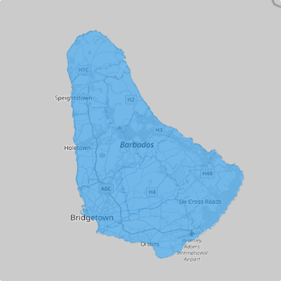
With the Barbados parishes added to your map, start growing your customer base, analyze parish trends, pinpoint the needs of your customers, and so much more!
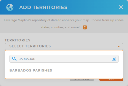
To achieve that, simply add a new territory from Mapline’s repository, type BARBADOS into the searchbar, and select BARBADOS PARISHES.
This is a great way to get an accurate representation of your service regions, allowing you to optimize operations and improve overall efficiency.


Pro Tip: Mapline’s extensive list of territory boundaries allows you to add precise regional divisions to your map. Leverage our worldwide territory repository to explore new opportunities and gain deeper insights into your service data.
CHOOSE PARISH COLORS
Territory colors are essential for business analytics and optimizing operations–there’s no better way to visualize performance metrics and other KPIs at a glance!
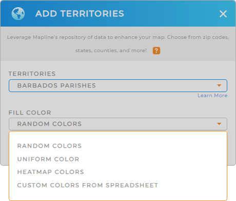
Color-code your Barbados parishes to quickly distinguish between different levels of service activity. Simply select your preferred territory color styles and click OK.
Now, you have more than just a territory map at your disposal! You just finished configuring a powerful visual tool that enhances your ability to make strategic decisions based on clear, color-coded data, ensuring your field service operations run smoothly.

GET NEW TERRITORY INSIGHTS
Unlock more valuable insights that were previously hidden in your data by using these powerful capabilities:
- Segment your service data to focus on high-priority areas
- Evaluate response times in different parishes to improve service efficiency
- Analyze your data and identify patterns that help you predict future demand in specific parishes


