BURUNDI PROVINCES
- Territory Guide
- BURUNDI PROVINCES
Add Burundi provinces to your map and instantly bring trends and patterns to life! Gain a clear, actionable view of your insights, empowering you to make smarter, faster decisions that drive real impact. Many top brands use province-level analysis to get the lowdown on their sales performance across different regions. By pinpointing which provinces are smashing it and which ones need a bit more muscle, you can turbo-charge your strategy and leave the competition in the dust. Visualizing your performance on a province-level map enables you to decode market trends and fine-tune your logistics efficiency.
Get your hands busy by adding this administrative boundary to your map now and see fantastic results in minutes!
WHAT ARE BURUNDI PROVINCES?
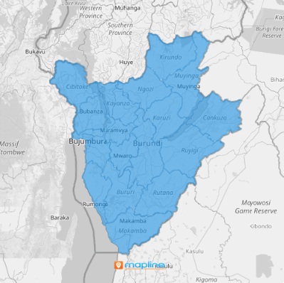
Burundi, a dynamic East African country, is split into 18 provinces, with the latest addition being Rumonge, which joined the map on March 26, 2015. By highlighting these province boundaries, you can understand the “whys” behind your projected strategies. For instance, why has a certain province not been tapped for market penetration? Or why do some regions seem to be overflowing with opportunities while others lag? With careful analysis through the lens of these provincial boundaries, you are fully equipped to answer these questions with precision and strategy.
The greater part about this type of analysis is that you can pinpoint ideas and factors in just a few minutes!
ADD BURUNDI PROVINCES
Keep those insights up and running! Imagine applying those insights immediately to allocate your teams to untapped markets. Or, to map delivery routes to optimize logistics and reduce costs. Tap more ideas as you learn to add Burundi provinces to your map.
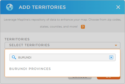
It’s so easy! First, add a new territory from Mapline’s repository. Type BURUNDI into the search bar, and then click BURUNDI PROVINCES to add to your map.
A few seconds more and you can start your data and territory analysis.


Pro Tip: A complete overhaul of Burundi’s administrative divisions was announced last July 2022. The proposed change would reduce the number of provinces from eighteen to five. The change will take effect once approved by the National Assembly and the Senate.
CHOOSE PROVINCE COLORS
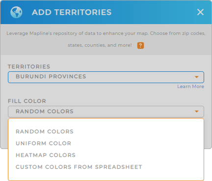
Add clarity and vibrancy to your map by color-coding your territories. Of course, you want to make your map look visually presentable. But you’re not here in Mapline just for it, right? So we’ll help you analyze various aspects of your data like audience demographics, sales performance, or high-risk areas.
You can do that by configuring your color styles that match your type of analysis. Once you’ve selected the color styling of your territory, click OK and your map of Burundi provinces can now be used for analysis.

GET NEW TERRITORY INSIGHTS
Make your map of Burundi provinces an analytics powerhouse when you apply these capabilities:
- Add demographic data to your territories for key customer insights
- Create a new dashboard to keep all of your visualizations and metrics in one place
- Generate center points to understand your market coverage and the impact of distance on your ROI


