
Plan Effectively with Czech Republic District Map
Stay Ahead of Uncertainty by District-Level Mapping
A Czech Republic district map is a great way to see the risks that others can’t. We may face risks from disasters or security threats. Local government leaders use a territory map to visualize risks. Additionally, it is used to find patterns and trends. First response teams also use maps with an overlay of district boundaries to communicate seamlessly. True, this practical approach to risk management saves assets. More than that, it saves lives!
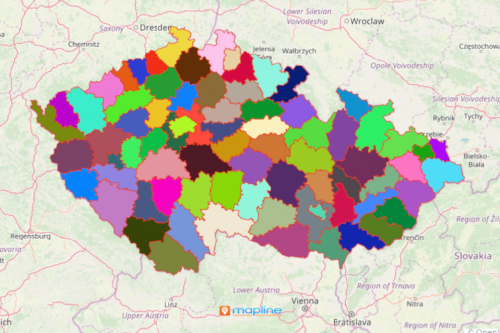
Mapping location data with an overlay of all the 76 districts of Czech Republic shows areas with potential risks. In fact, it reveals deeper insights on how to manage the risks, thereby providing streamlined communication in all phases of risk management.
Easy Approach to Mapping
Start territory analytics to reveal patterns critical to risk management. Start by following these easy steps:
- Create a Mapline account and login.
- Click the orange “Add New Items” button.
- Select “New Map” on the drop down arrow.
- Give your map a name and click “OK.”
- Click the “Add” button from the left sidebar.
- Select the “Territories” option.
- Click “From Mapline’s Repository.”
- From the “Territories” select “Czech Republic Districts.” You can also enter that on the search bar.
- Select how you want your boundaries to be colored in “Fill Color” (Random Colors, Uniform Color, Dynamic heat map colors, or Custom colors from spreadsheet).
- Click “OK.”
In summary, stay ahead of uncertainty by mapping the districts of Czech Republic. Sign up now to enhance preparedness, response, and resilience in risk management.