
The Many Uses of Mapping Faroe Islands Villages
Mapping Faroe Islands Villages for Your Advantage
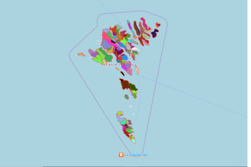
There are a lot of advantages when mapping Faroe Islands villages. Faroe Islands is an island group with 18 large islands and almost 800 islands, islets, and skerries. Because it is surrounded by water, fishing is its main industry. An Excel map data with village boundaries helps in data analysis as you will be more focused on the things that really matter. The map points out which village has more demands, which has more supplies, and which needs improvement.
Mapline provides special territory boundaries to cater for your unique needs. When geographic boundaries are added to a map, it will be easier to spot the connections of your location data to each boundary.
Powerful Data Visualization Starts with Mapping
Powerful does not necessarily mean complicated. In fact, in just 10 easy steps, you can build a map of villages!
- Create a Mapline account and login.
- Click the orange “Add New Items” button.
- Select “New Map” on the drop down arrow.
- Give your map a name and click “OK.”
- Click the “Add” button from the left sidebar.
- Select the “Territories” option.
- Click “From Mapline’s Repository.”
- From the “Territories” select “Faroe Islands Villages.” You can also enter that on the search bar.
- Select how you want your boundaries to be colored in “Fill Color” (Random Colors, Uniform Color, Dynamic heat map colors, or Custom colors from spreadsheet).
- Click “OK.”
Mapping territory boundaries like the villages of Faroe Islands can result in a lot of great opportunities for your organization. Do away with tiresome spreadsheet analysis. Put your location data on a map of boundaries and let the data visualization works all the wonders! Sign up now and have a first hand experience of the powerful mapping tools for your level-up data analysis.