
Mapping Parishes of Guernsey for Advanced Community Planning
Mapping Parish-Level Boundaries for Improvement of Quality of Life
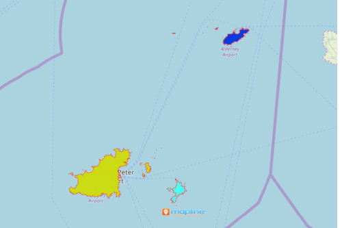
Mapping parishes of Guernsey is an integral part in shaping the community. Guernsey is the second largest island in Channel Islands. The country is made up of ten parishes. When parish boundaries are plotted on the map with location data, it becomes a key factor to better community engagement. How? First, it provides solutions to current challenges. Second, it helps decision makers to come up with practical solutions on how to improve the current situations. That include health, economy, infrastructures, and others.
The advanced mapping tools provided by Mapline helps government offices to streamline their operations. They are also crucial in gaining smarter perspectives. In addition, they are used to assist in having safer communities.
Mapping Guernsey Parishes can be done in a snap
Start Mapping Parishes of Guernsey with these easy steps:
- Create a Mapline account and login.
- Click the orange “Add New Items” button.
- Select “New Map” on the drop down arrow.
- Give your map a name and click “OK.”
- Click the “Add” button from the left sidebar.
- Select the “Territories” option.
- Click “From Mapline’s Repository.”
- From the “Territories” select “Guernsey Parishes.” You can also enter that on the search bar.
- Select how you want your boundaries to be colored in “Fill Color” (Random Colors, Uniform Color, Dynamic heat map colors, or Custom colors from spreadsheet).
- Click “OK.”
Indeed, knowing more about your local community helps improve the quality of life. You can never go wrong by using a map of Guernsey parishes to start learning additional insights. Sign up now to learn more on how Mapline’s powerful mapping tools can help in community planning.