
Kosovo District Map to Improve Production Efficiency
Mapping Kosovo Districts to Distinguish Economic Balance
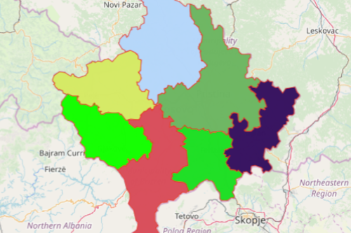
Kosovo prides itself for having an abundant and productive land for agriculture. To optimize its land use, it is best to utilize a map. A Kosovo district map helps to uncover relationships in data with overlaid district boundaries. Overall, the map serves as a guide for you to react proactively with the current situations.
When it comes to agriculture, mapping Kosovo Districts proves to be a useful tool. It allows you to see what is happening and what can still be done. The insights gained from the map helps to increase production rate, optimize output, and mitigate risks.
Improve Spatial Analysis Through Mapping
Data analysis through mapping is a big factor when developing economic programs with short-term or long-term objectives. Overlaying the district boundaries on a map can be done in a snap:
- Create a Mapline account and login.
- Click the orange “Add New Items” button.
- Select “New Map” on the drop down arrow.
- Give your map a name and click “OK.”
- Click the “Add” button from the left sidebar.
- Select the “Territories” option.
- Click “From Mapline’s Repository.”
- From the “Territories” select “Kosovo Districts.” You can also enter that on the search bar.
- Select how you want your boundaries to be colored in “Fill Color” (Random Colors, Uniform Color, Dynamic heat map colors, or Custom colors from spreadsheet).
- Click “OK.”
Whether your organization is managing the country’s agricultural resources, or your own resources, Mapline is ready to assist you with everything you need to maximize productivity. Sign up now to learn more on how mapping helps in revealing new patterns and trends that will help your organization improve more.