
Determine Risk Factors by Creating a North Macedonia Region Map
Map Reveal: The Real Situations of Individual Region
A North Macedonia region map is highly significant in legal and statistical purposes. It is also often used by different government agencies to study the geographical locations of each region in determining risk factors. Understanding the different situations of local regions is pertinent in providing timely and right services. Thus, region mapping helps identify the current situation in terms of health, economic, safety, and security. Delivering the right services should be efficiently done.
Territory mapping is an efficient tool that promotes risk reduction. It is also used in plan management. Mapline users can take advantage of using heat map. This mapping tool helps delve more deeply into understanding the connection of location data into their territory boundaries. One example of using the heat map is by heat mapping the percentage of location density. This type of heat mapping is vital to identify areas with potential risks so government agencies can quickly act and create the necessary plans to protect the areas.
Mapping Regions to Identify Risk Factors
Creating a map of regions takes only a few seconds. When your map is up and running, the results of data analysis can be achieved in half the time.
- Create a Mapline account and login.
- Click the orange “Add New Items” button.
- Select “New Map” on the drop down arrow.
- Give your map a name and click “OK.”
- Click the “Add” button from the left sidebar.
- Select the “Territories” option.
- Click “From Mapline’s Repository.”
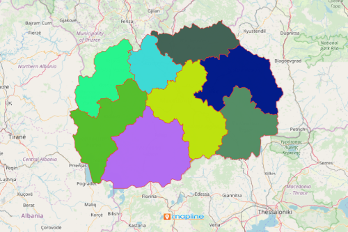
- From the “Territories” select “North Macedonia Regions.” You can also enter that on the search bar.
- Select how you want your boundaries to be colored in “Fill Color” (Random Colors, Uniform Color, Dynamic heat map colors, or Custom colors from spreadsheet).
- Click “OK.”
Mapline is a trusted mapping software that continues to design advanced mapping tools. Sign up now to start using different mapping tools in determining risk factors.