JAPAN PREFECTURES
- Territory Guide
- JAPAN PREFECTURES
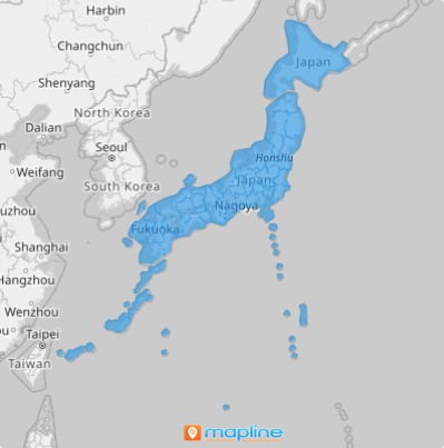
A map of Japan’s prefectures is the ultimate tool for brands aiming to expand and deepen their audience engagement. Perfect for businesses looking to outpace competitors, this map allows you to dive into region-specific insights and refine your strategy. Gain a comprehensive view of your market by analyzing data within each prefecture’s boundaries—unlocking growth potential and empowering smarter, more effective brand decisions!
Create a prefecture territory map in under a minute and start executing your territory sales planning right away!
WHAT ARE JAPAN PREFECTURES?
Japan, an island nation in East Asia, is divided into 47 dynamic prefectures, each governed by an elected official and local legislature. These prefectures are Japan’s primary administrative units, encompassing 43 traditional prefectures, two urban areas, one circuit or territory, and one metropolis.
For businesses focused on specific city clusters, adding your data within prefecture boundaries on your map provides a strategic advantage. District operation managers find this type of map invaluable for its unique territorial breakdown, offering precise, region-based insights for optimizing operations and driving local engagement.
ADD JAPAN PREFECTURES
Make your prefecture territory map a wealth of spatial information to sharpen your insights for informed decision-making. So gear up, because you’re about to add these administrative divisions to your map in a flash. Ready to transform your data into a powerhouse of actionable insights? Let’s get started!
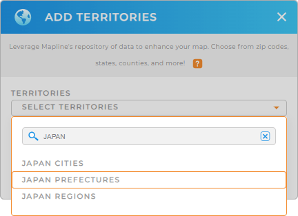
Ready to transform your data analytic prowess into actionable insights? Then let’s start by adding a new territory from Mapline’s repository. On the search bar, type in JAPAN and choose JAPAN PREFECTURES.
It’s so easy!


Pro Tip:Dive into deeper territory analysis as you leverage Mapline’s Repository to add different territory boundaries to your map in just a few seconds. It’s an extensive list of hundreds of territories from countries worldwide including Japan regions, prefectures, and Japan cities.
CHOOSE PREFECTURE COLORS
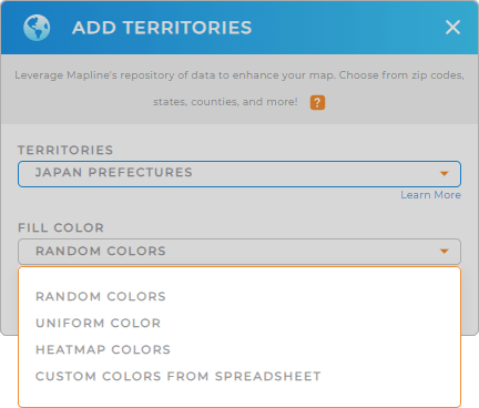
Make your map more useful when you choose the right territory colors that suit your analysis. Colors make your territories pop up and instantly tell their stories. Whatever color style you choose, valuable location insights will be identified that can be readily used for important decision-making.
Once you apply the color styles of your choice, click OK.
Now, get more location-based insights as you start using your map of Japan prefectures.

GET NEW TERRITORY INSIGHTS
Amplify your territory analysis once you apply these capabilities:
- Auto-generate territories based on customer density
- Provide the right services at the right time with optimized routes
- Analyze demographic factors when you add your data to gain powerful business insights


