MONGOLIA PROVINCES
- Territory Guide
- MONGOLIA PROVINCES
Add Mongolia provinces to your map and analyze the factors that impact your business management! Leveraging a province territory map significantly helps to enhance your decision-making processes. As you map the province boundaries, you can instantly visualize your business operations’ strengths and opportunities, including the areas that need the most attention. A detailed map of Moldova’s provinces isn’t just a tool—it’s your gateway to mastering regional dynamics and amplifying your strategies with precision. With sharp, insight-driven visuals, you can pinpoint prime markets for growth and uncover hidden investment gems.
Let’s try it out now!
WHAT ARE MONGOLIA PROVINCES?
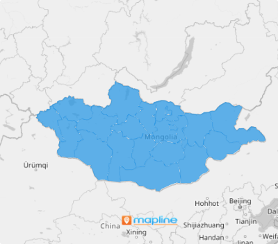
Mongolia, a country in East Asia, is divided into twenty-one provinces called aimags, plus its capital city, Ulaanbaatar. As the first administrative divisions, provinces hold many responsibilities including economic affairs and transport. This is why most brands utililze these boundaries to craft effective business strategies to increase their brand presence and optimize logistics.
A province territory map is a visually captivating tool that helps you drive data-driven decisions that impact your business! Easily optimize distribution channels based on demands. Tailor-specific marketing campaigns in provincial areas with higher potential. Understand local needs to enhance your logistics.
ADD MONGOLIA PROVINCES
When province boundaries are added to a map, you can analyze each region more specifically and determine the most efficient routes for transportation within and between provinces.
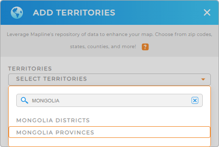
Start by adding a new territory from Mapline’s repository quickly. Type MONGOLIA into the search bar, and select MONGOLIA PROVINCES.
You’re halfway there. Let’s move on to the final step.


Pro Tip: Mapline’s extensive repository of territory boundaries allows it to combine territories from different countries into your map, allowing you to build a platform to monitor your global operational reach. Explore these territories, including Mongolia districts and provinces, to see the best approach for your business.
CHOOSE PROVINCE COLORS
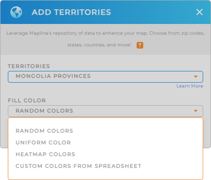
Now, use colors to differentiate between provinces! They add significant value to logistics and supply chain maps by making it easier to distinguish between regions and interpret data.
To give you some choices, heat map colors help to identify regions with high and low demand. Static colors, on the other hand, help to differentiate between provinces as they add visual variety to the map.
Choose your desired color styling for your territories. Hit OK and you can now use your map of Mongolia provinces in full swing!

GET NEW TERRITORY INSIGHTS
Now, add these capabilities to your map to gather more insights to help with your business management:
- Track delivery schedules with optimized routes
- Gain laser-focused insights when you monitor and optimize your team’s sales performance
- Analyze and segment your audience to drive more tailored marketing campaigns


