
Benefits of Mapping Parishes of Jamaica
Map Parish Boundaries to Identify Connections Between Locations
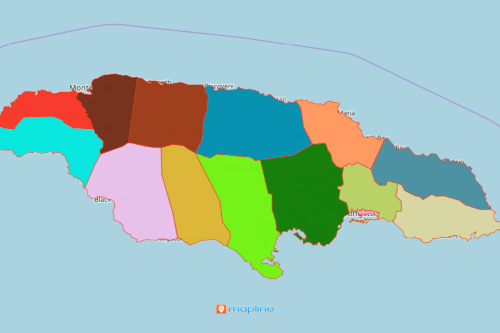
A number of organizations are mapping parishes of Jamaica. Jamaica is a beautiful country nestled in the Caribbean. It is made up of 14 parishes. A parish-level map helps to get the right information on each boundary. Ideas show up instantly when Excel spreadsheet data is plotted on a map. The ideas are used in decision making, planning, and business management.
As a leading mapping software, Mapline continues to wow its users with powerful mapping tools to speed up the time spent on data analysis. One particular tool is overlaying territory boundaries. Connections and patterns are better defined when territory borders are added on a map. Furthermore, territory mapping is used to identify the relationship between locations. It is also used to detect connections between locations and their boundaries. In addition, it is also used to identify relationship between data sets.
Map Parish Boundaries for a More Focused Analysis
Data analysis in a minimum amount of time? Sure you can! Map boundaries on top of your location data and start reaping the benefits of using a territory map. Start mapping by following these steps:
- Create a Mapline account and login.
- Click the orange “Add New Items” button.
- Select “New Map” on the drop down arrow.
- Give your map a name and click “OK.”
- Click the “Add” button from the left sidebar.
- Select the “Territories” option.
- Click “From Mapline’s Repository.”
- From the “Territories” select “Jamaica Parishes.” You can also enter that on the search bar.
- Select how you want your boundaries to be colored in “Fill Color” (Random Colors, Uniform Color, Dynamic heat map colors, or Custom colors from spreadsheet).
- Click “OK.”
Sign up now to start utilizing Mapline tools for a smarter approach in data analysis.