
Mapping Montserrat Parishes Protects From Danger
Be Risk-Ready by Mapping Montserrat Parishes
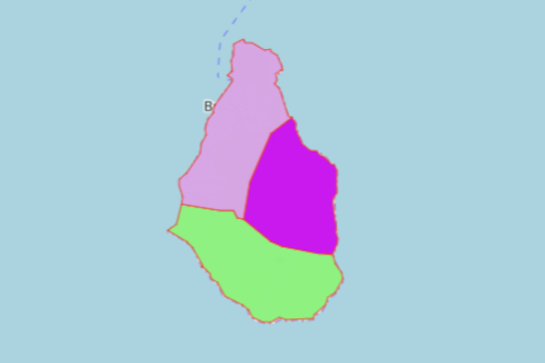
Mapping Montserrat Parishes is a sure way to understand the island. Montserrat is an overseas territory of the United Kingdom. In 1995, Soufrière Hills erupted leaving a catastrophic damage to the island. More than 25 years later, the local government continues to monitor its movement. Until now, the volcano continues to erupt. Hence, a map with parish boundaries truly helps in preparing for the risks.
Mapline’s territory maps are used by organizations to visualize and analyze situations. This strategic approach is a big help to communities to save their lives. When dealing with natural disasters like a volcanic eruption, it is a necessity to respond quickly. With your map containing all the territory boundaries of Montserrat, you will be more than ready to be prepared and think ahead.
Map Montserrat Parishes to Respond with Confidence
Here are the simple steps to follow to start creating your very own map:
- Create a Mapline account and login.
- Click the orange “Add New Items” button.
- Select “New Map” on the drop down arrow.
- Give your map a name and click “OK.”
- Click the “Add” button from the left sidebar.
- Select the “Territories” option.
- Click “From Mapline’s Repository.”
- From the “Territories” select “Montserrat Parishes.” You can also enter that on the search bar.
- Select how you want your boundaries to be colored in “Fill Color” (Random Colors, Uniform Color, Dynamic heat map colors, or Custom colors from spreadsheet).
- Click “OK.”
It is never too late to prepare. We do not know where disasters may strike. But thanks to Mapline, you can see how risks may affect you, your business, and your loved ones. Sign up now to know more about risk mitigation and management through powerful mapping.