
Mapping Municipalities of Nicaragua for a More Effective Business Management
Municipality Mapping – a Better Approach to Market Analysis
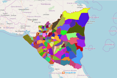
New entrepreneurs turn into mapping municipalities of Nicaragua. Why? Because when it comes to business, the country has a lot to offer! Nicaragua is a country located in North America. It is divided into 153 municipalities. An overlay of municipal boundaries on a map adds an impact to understand the competitive landscape. Hence, data and territory analyses provide insights into how to grow the business amidst the competition. A municipality-level analysis shows the strengths of each municipality related to your line of business. On the other hand, the map also shows the opportunities posed in each municipality. It helps you foresee locations where possible threats may develop.
Mapline allows its users to use advanced mapping analytic tools. Distance measurement and radius mapping are some of the best tools to use for analyzing market share, realizing business growth and efficiency. These tools help gain competitive insight. Moreover, they help produce a clear visualization of what an effective supply and distribution chain workflow should be.
Municipality-Level Mapping for a More Targeted Business Analysis
Consider a municipality-level data analysis for a more focused approach in business planning. After all, mapping the municipalities of Nicaragua takes only a few clicks:
- Create a Mapline account and login.
- Click the orange “Add New Items” button.
- Select “New Map” on the drop down arrow.
- Give your map a name and click “OK.”
- Click the “Add” button from the left sidebar.
- Select the “Territories” option.
- Click “From Mapline’s Repository.”
- From the “Territories” select “Nicaragua Municipalities.” You can also enter that on the search bar.
- Select how you want your boundaries to be colored in “Fill Color” (Random Colors, Uniform Color, Dynamic heat map colors, or Custom colors from spreadsheet).
- Click “OK.”
Sign up now to uncover hidden insights that will drive your business to more success even within a tough competitive environment.