
Panama District Map – a Special Tool When Creating Business Plans
Reach Actionable Plans in No Time by Mapping in District Level
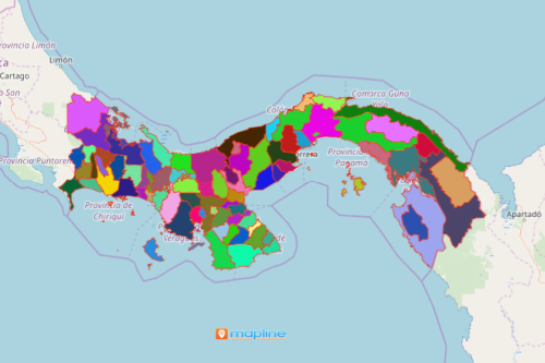
A Panama district map is the first way to learn about the country. Panama is a beautiful country that is stretched between North and South America. Because it offers endless opportunities, it began to attract investors and entrepreneurs. In turn, the business sector brings innovation, creativity, and hospitality. An Excel map with an overlay of Panama district boundaries can be turned into a powerful visualization. It can immediately detect how location data can be connected to each other and to their boundaries.
Furthermore, a territory map with Excel data helps draw business plans that tailor-fits your business goals. Segment the location data to reach out to your target market. Measure distances to establish the most practical routes for your services and deliveries.
Panama District Map Done in Seconds
Building a district map is never tricky. Instead, it is easy! Just follow these basic steps:
- Create a Mapline account and login.
- Click the orange “Add New Items” button.
- Select “New Map” on the drop down arrow.
- Give your map a name and click “OK.”
- Click the “Add” button from the left sidebar.
- Select the “Territories” option.
- Click “From Mapline’s Repository.”
- From the “Territories” select “Panama Districts (2019).” You can also enter that on the search bar.
- Select how you want your boundaries to be colored in “Fill Color” (Random Colors, Uniform Color, Dynamic heat map colors, or Custom colors from spreadsheet).
- Click “OK.”
Do away with burdensome data analysis. Sign up now and start building a territory map that works to your business advantage.