
Data Discovery Through Mapping Estates of Virgin Islands
Capture Location Insights by Mapping on an Estate-Level
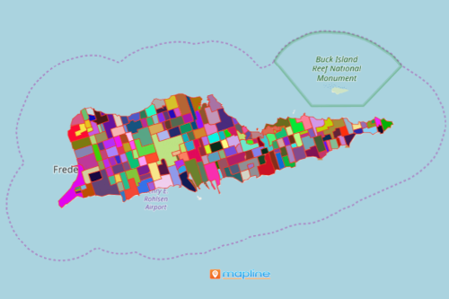
Get to know each estate boundary better by mapping estates of the Virgin Islands. Estates are legal subdivisions in the US Virgin Islands (USVI). They were first delineated for the 2010 Census. Although the boundaries cover most of the land area of the Virgin Islands, they do not always follow the census subdistricts like county subdivisions. In addition, they do overlap with the places. An Excel data map with an overlay of estate boundaries is very useful when preparing for impending economical threats.
To help you further in capturing more location insights on your data analysis, heat map is a valuable tool. It reflects a visually intuitive way of seeing the connection of your data. Heat maps offer territory-based mapping solutions like creating disaster recovery plans.
Create a Map of Estates of Virgin Islands in Seconds
In just less than a minute, your estate boundaries map will be generated. After that, you can perform in-depth data analysis to uncover more insight to increase productivity and efficiency.
- Create a Mapline account and login.
- Click the orange “Add New Items” button.
- Select “New Map” on the drop down arrow.
- Give your map a name and click “OK.”
- Click the “Add” button from the left sidebar.
- Select the “Territories” option.
- Click “From Mapline’s Repository.”
- From the “Territories” select “U.S. Estates – Virgin Islands of the United States (2019).” You can also enter that on the search bar.
- Select how you want your boundaries to be colored in “Fill Color” (Random Colors, Uniform Color, Dynamic heat map colors, or Custom colors from spreadsheet).
- Click “OK.”
Deepen your data analysis by using more mapping tools. Sign up now to get access to more powerful mapping tools.