
Managing and Mapping Tribal Block Groups in the US the Simplest Way
Understand How Data Interrelates on a Map of Tribal Block Groups
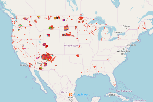
Now, Mapline makes mapping tribal block groups in the US within reach! To give you a brief background about this special territory boundary, tribal block groups are small statistical subdivisions of tribal census tracts. A single tribal block group has a population of 1,200 or less. If the population reaches more than 1,200, an additional tribal block group may be delineated.
You can even make more improvements with your data analysis as you overlay this new US territory boundary on a map. For example, the distance analysis tool empowers you to look for the most efficient ways to deliver things or services from point A to point B. In addition, it helps you save so much time and money! On the other hand, the network coverage overlay helps you visualize your coverage networks and discover growth opportunities.
Analyze Data with Tribal Block Group Boundaries
Simple steps to create a map with a massive impact! Here are the steps to begin with:
- Create a Mapline account and login.
- Click the orange “Add New Items” button.
- Select “New Map” on the drop down arrow.
- Give your map a name and click “OK.”
- Click the “Add” button from the left sidebar.
- Select the “Territories” option.
- Click “From Mapline’s Repository.”
- From the “Territories” select “U.S. – Tribal Block Group (2019).” You can also enter that on the search bar.
- Select how you want your boundaries to be colored in “Fill Color” (Random Colors, Uniform Color, Dynamic heat map colors, or Custom colors from spreadsheet).
- Click “OK.”
Sign up now and know more about all other unique US territory boundaries in store for you.