
What You Can Learn by Mapping Tribal Census Tracts in the US
Try Mapping This New Boundary Level!
Many organizations are mapping the tribal census tracts in the US. They found out that the map is a very important tool when analyzing population-based projects. Tribal census tracts are statistical geographic boundaries defined by the Census Bureau along with tribal officials. These boundaries are defined to provide reliable, relevant, and meaningful data for small geographic areas. Sure enough, by overlaying a boundary of tribal census tracts on a map, there is much more that you can learn!
You can further enhance your data analysis on a territory map by using other mapping options. Among the most sought-after mapping tools is the heat map. On the spot, you can find trends and patterns that cannot be easily uncovered just by looking at spreadsheet rows and columns. Since heat maps show color-coded concentrations, you can immediately compare the densely populated areas with the least populated ones.
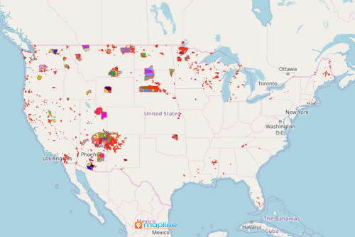
Territory Analysis with a Map of Tribal Census Tracts
Creating a map with an overlay of tribal census tract boundaries can only be done in less than a minute. Once it generates, you can start your data and territory analysis. Here are the 10 easy steps:
- Create a Mapline account and login.
- Click the orange “Add New Items” button.
- Select “New Map” on the drop down arrow.
- Give your map a name and click “OK.”
- Click the “Add” button from the left sidebar.
- Select the “Territories” option.
- Click “From Mapline’s Repository.”
- From the “Territories” select “U.S. – Tribal Census Tract (2019).” You can also enter that on the search bar.
- Select how you want your boundaries to be colored in “Fill Color” (Random Colors, Uniform Color, Dynamic heat map colors, or Custom colors from spreadsheet).
- Click “OK.”
For an easier approach to territory mapping, sign up now and get access to all the available territory boundaries we have in store for you.