SOMALIA DISTRICTS
- Territory Guide
- SOMALIA DISTRICTS
Gain a competitive edge by adding Somalia’s districts to your Mapline map. Mapping district boundaries lets brands unlock valuable insights that support better resource management, strategic planning, and enhanced service coverage. A district map is especially useful for brands looking to streamline logistics, coordinate dispatch efforts, and strengthen customer reach. Whether you’re analyzing demographic trends, optimizing delivery routes, or aligning marketing strategies with local demand, visualizing Somalia’s districts can be a powerful asset.
Jump into the world of data-driven decisions and make smarter moves with Mapline’s territory mapping capabilities!
WHAT ARE SOMALIA DISTRICTS?
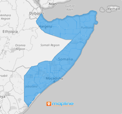
Somalia, located in the Horn of Africa, is divided into 18 regions that are further split into districts. These districts serve as administrative zones that support local governance, public services, and economic development. A district map provides businesses with an organized view of specific areas, ideal for targeted marketing, sales expansion, and optimizing distribution networks. For brands in fields like logistics, sales, and service maintenance, district mapping enables strategic planning by offering a clear layout of operational territories and customer zones.
Mapping Somalia’s districts helps brands make informed, data-backed decisions and align operations with real-world demand patterns.
ADD SOMALIA DISTRICTS
Adding Somalia’s districts to your Mapline map enhances your ability to analyze trends, plan services, and reach customers effectively. A district view organizes your data geographically, bringing insights that can drive growth, improve customer satisfaction, and support more efficient logistics.
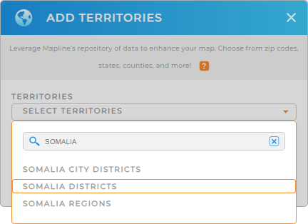
To get started, add a new territory from Mapline’s repository, enter “Somalia” in the search bar, and select “SOMALIA DISTRICTS” from the list. This sets up your map to make the most of district-specific data and insights.


Pro Tip: With Mapline’s extensive list of territory boundaries worldwide, you can easily expand your map’s scope. From national boundaries to regional divisions, our territory repository allows you to track and manage data across borders, helping your brand take a global approach to analytics and planning. Explore the global territory repository to add more regional insights to your map including Somalia City Districts and Somalia Regions and unlock endless possibilities for strategic growth.
CHOOSE DISTRICT COLORS
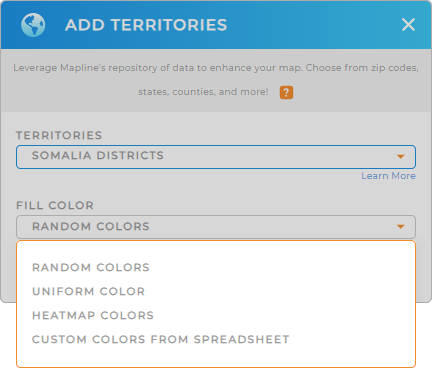
Adding colors to your district map transforms raw data into an insightful visual display, making it easy to spot important patterns at a glance. Color-coding each district helps you quickly evaluate regional performance, identify high-demand areas, and optimize your strategic approach.
To apply custom colors, choose your preferred color styling and finalize your selection. With this, your map becomes an interactive guide, showing you exactly where to focus resources and drive results.

GET NEW TERRITORY INSIGHTS
Take your Somalia district map to the next level by exploring powerful insights and capabilities:
- Leverage Mapline Data to access demographic details and gain a deeper understanding of each district’s population, income levels, and other critical factors.
- Gain real-time visibility into your team’s whereabouts 24/7
- Apply filters to focus on specific performance metrics, allowing you to fine-tune your operations based on district-level results.


