
Choosing the Best Locations Starts with a Bolivia Municipality Map
Municipality-Level Map for Effective Territory Planning
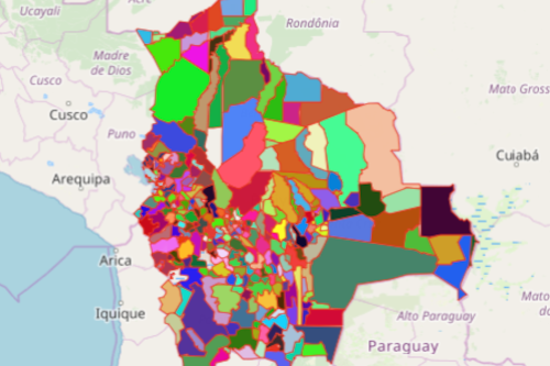
A Bolivia Municipality map is used by entrepreneurs to drive success. Bolivia is a country with an emerging economy. Since it provides many initiatives for the business sector, a growing number of entrepreneurs are attracted to put their start-ups in Bolivia. To help evaluate the progress of such initiatives, Mapline helps you map all 327 municipalities of Bolivia. Mapping is a guiding tool to understand how business fares with different factors.
True, territory boundaries such as departments or provinces are used for spatial analysis. However, there is a greater value of mapping municipalities. It makes the data-driven analysis more tailor-fit in your business. For one, it allows you to a clear view of the local needs. Thus, you can readily step up to provide for the growing demands. Location is important in business. Hence, business owners should not choose just any location. Instead, they deserve the best location! A municipality-level map will help choose that best location for you.
Start Your Site Analysis by Mapping
Maps help in targeting the most profitable municipality. In addition, it lets you understand where an emerging market is located. Start creating a map of Bolivia Municipalities in seconds:
- Create a Mapline account and login.
- Click the orange “Add New Items” button.
- Select “New Map” on the drop down arrow.
- Give your map a name and click “OK.”
- Click the “Add” button from the left sidebar.
- Select the “Territories” option.
- Click “From Mapline’s Repository.”
- From the “Territories” select “Bolivia Municipalities.” You can also enter that on the search bar.
- Select how you want your boundaries to be colored in “Fill Color” (Random Colors, Uniform Color, Dynamic heat map colors, or Custom colors from spreadsheet).
- Click “OK.”
Sign up now to start seeing the growth opportunities per municipality!