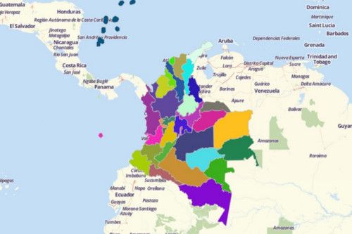
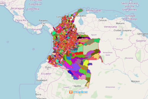
Visualize and Understand Colombia Map with Mapline’s Territory Mapping Software
Bring your data on a Colombia map with territory overlays to uncover hidden trends and patterns. Mapline’s Territory Mapping Software allows you to overlay department and municipality boundaries to visualize connections between data and territories. Take advantage of the territory reports to give you a bird’s eye view of everything that’s been going on in a certain boundary. Share your reports to your team in just a few clicks!


