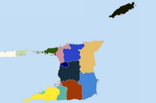
Visualize and Understand Trinidad and Tobago Map with Mapline’s Territory Mapping Software
Mapline’s Territory Mapping Software takes the confusion out of the equation when analyzing location data on a Trinidad and Tobago map. It provides the easiest-to-use tools that even first-time users can use, the tools which bring in immediate insights from powerful visualization. Create a map with pins. Add territory overlays. Build optimized routing. These are just some of the tools that significantly help in understanding and utilizing data insights for decision-making.


