TANZANIA DISTRICTS
- Territory Guide
- TANZANIA DISTRICTS
Elevate your brand’s presence across Tanzania districts and discover valuable insights with a district-level data analysis. Visualize local perspectives across Tanzania’s diverse districts and cut through complex information and spot trends with fresh clarity. This map-based approach helps you see how local dynamics influence your business, providing the insights needed to drive meaningful, data-backed decisions and growth. Leverage district-level insights and be empowered with data-driven decisions that boost efficiency, increase profitability, and promote sustainable growth in today’s fast-evolving business landscape.
Let’s dive in and see how it is done.
WHAT ARE TANZANIA DISTRICTS?
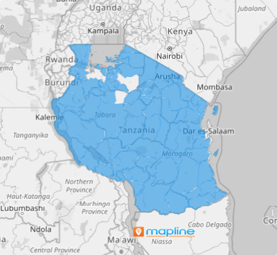
Tanzania, the largest country in East Africa, is divided into 184 districts. The district boundaries are also known as local government authorities, each governed by its own district council as of 2021. Analyzing key factors at the district level is essential for brands aiming to gain a granular understanding of local dynamics. This approach doesn’t just connect points on a map; it uncovers the rich, nuanced stories hidden within layers of your map.
By diving into district-level analysis, organizations can move beyond surface insights, revealing trends and narratives that are critical for strategic decision-making and impactful local engagement.
ADD TANZANIA DISTRICTS
Add Tanzania districts to your map and be amazed by the countless opportunities that you can discover! Craft location-intelligent strategies to enhance your business operations, create optimized routes, and analyze district trends.
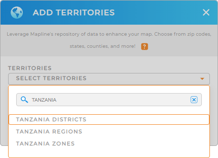
To achieve that, just click on the ADD button on the left side of your map and add a new territory from Mapline’s repository. Then, type TANZANIA in the search bar and select TANZANIA DISTRICTS.
That was fast! It couldn’t be easier than that.


Pro Tip: Access Mapline’s Repository to add territories of Tanzania including Tanzania districts, Tanzania regions, and Tanzania zones. What a great way to analyze your data and optimize your operations within Tanzania!
CHOOSE DISTRICT COLORS
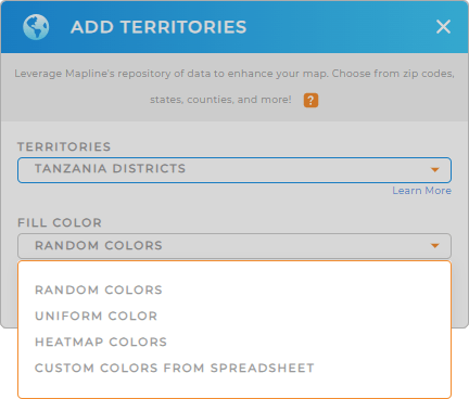
Now that you have the right territory, it’s time to style your territory with colors that speak volumes about your data. Mapline lets you apply static colors to represent each district. Or apply dynamic colors that are tied directly to your data.
Apply your preferred color styling that meets your level of analysis. Click OK and you can start using your map of Tanzania districts to analyze your data.

GET NEW TERRITORY INSIGHTS
Now, level up your analysis even more as you apply these powerful capabilities on your map of Tanzania districts:
- Create advanced trip planning to ensure that no customer visit ever falls through the cracks
- Effortlessly see every customer’s location and status at a glance when you create instant customer sales map
- Create a chart to visualize key data and analyze results


