MAP INTERNATIONAL LOCATIONS
- How To Guide
- MAP INTERNATIONAL LOCATIONS
Mapping international locations in Mapline is a breeze! Whether you’re managing a global supply chain, tracking sales across continents, or planning marketing campaigns worldwide, Mapline has got you covered.
For example, imagine you’re a logistics manager overseeing shipments from international suppliers to distribution centers in various countries. Mapping these locations allows you to visualize your global operations and optimize your logistics strategies. With Mapline, plotting international locations is as easy as plotting U.S. locations, so let’s dive in and see how it’s done!
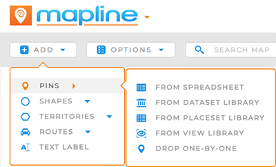
ADD MAP PINS
To add individual locations to your map, you can start by adding pins, just as you would with any other locations in Mapline.
From there, you can customize your pin appearance, click individual pins to see information about that location, or click the pin layer folder and select VIEW DATA to see the underlying data for your pins.

ADD INT’L TERRITORIES
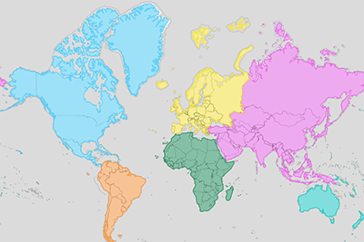
Want to map country boundaries to get a broader view of your international operations? No problem!
You can easily add territories to your map from Mapline’s worldwide repository. Simply search for the country you need, select the territory, and add it to your map.
For a step-by-step walkthrough on adding specific territories, don’t forget to check out our Territory Guide.


