
Insights Gained from Analyzing a Region Map of Ethiopia
Make More Strategic Business Decisions by Analyzing Region Boundaries
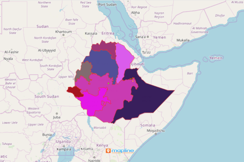
Communication is vital to every industry. To further the effort of communication enhancement, leaders use their data overlaid on a region map of Ethiopia. Ethiopia is divided into 9 regional states and 2 chartered cities which also perform as states. As in the case of a company in the coffee industry, the map of location data on regional boundaries can be segmented into coffee fields, agronomists, farmers, water usage, stores, coffee shops, and many more. The segmented dataset can be analyzed individually. They can also be compared with other datasets of different segments.
Bring intelligence to an Ethiopia region map by using smart mapping tools. Aside from data segmentation, you can use the radial and geographical heat maps to monitor your business activities. Such tools are integral to extract ideas that will shed light on the intricate day-to-day operations of the company.
Make an Ethiopia Map of Regions Work For You
Simply follow these steps to create one. Then, apply the mapping tools to start building a comprehensive view of your business operations across all regions.
- Create a Mapline account and login.
- Click the orange “Add New Items” button.
- Select “New Map” on the drop down arrow.
- Give your map a name and click “OK.”
- Click the “Add” button from the left sidebar.
- Select the “Territories” option.
- Click “From Mapline’s Repository.”
- From the “Territories” select “Ethiopia Regions.” Use the search bar for quicker results.
- Select how you want your boundaries to be colored in “Fill Color” (Random Colors, Uniform Color, Dynamic heat map colors, or Custom colors from spreadsheet).
- Click “OK.”
That’s how easy it is to create a region map of Ethiopia! Mapline also makes it simple to see summary information about the locations inside each region just by clicking on them! Sign up now to access all the smart mapping tools to help you find ideas to move your business forward.