
County Map of Kenya for Powerful Data Visualization
County Mapping for Advanced Territory Analysis
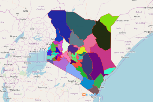
You can easily create a map of Kenya counties using Mapline. The Republic of Kenya is a country in Africa that lies in the borders of Tanzania, Uganda, South Sudan, and Ethiopia. It is rich in natural resources including gemstones, limestone, zinc, wildlife, and hydro-power. In 2013, Kenya underwent a re-organization of national administrative divisions. Under the new administration, the country was divided into 47 counties from its 47 legally recognized districts.
Using Mapline, you can easily create a data visualization map of Kenyan counties to use for your company. This map will allow you to understand coverage areas, gaps in service, sales territories, distribution routes and more for your business in Kenya.
Steps to Create a County Map of Kenya
- Create a Mapline account and login.
- Click the orange “Add New Items” button.
- Select “New Map” on the drop down arrow.
- Give your map a name and click “OK.”
- Click the “Add” button from the left sidebar.
- Select the “Territories” option.
- Click “From Mapline’s Repository.”
- From the “Territories” select “Kenya Counties.” Use the search bar for quicker results.
- Select how you want your boundaries to be colored in “Fill Color” (Random Colors, Uniform Color, Dynamic heat map colors, or Custom colors from spreadsheet).
- Click “OK.”
That’s how easy it is to create a county map of Kenya for analysis! Once you have your map, you can create a map of Excel spreadsheet locations to overlay on top. Mapline also makes it simple to see summary information about the locations inside each county just by clicking on them! Find info on plans and pricing now to get started with your own territory mapping analysis.