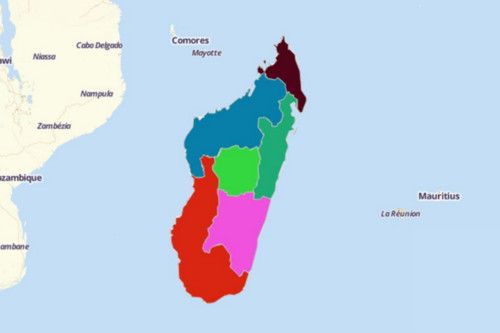
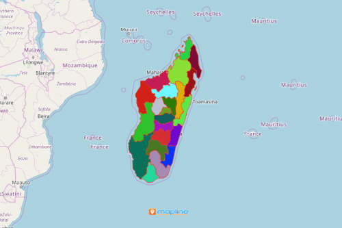
Create Madagascar Map Using Mapline’s Territory Mapping Software
In addition to adding location data on a map, you can easily overlay territories. For instance, you can simply add either province or region boundaries on a Madagascar map in just a few seconds. Mapline’s Territory Mapping Software brings out the best data visualization for better territory management. With a clear picture, you can see how your territory maps are going to be covered by your team in sales, marketing, research, and many more!


