
Map States of Nigeria and Improve Business Process
Location Analysis Starts with Mapping Boundaries
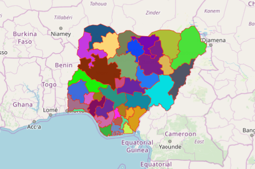
Business leaders map states of Nigeria to improve their business process with location intelligence. Known as the “Giant of Africa” because of its booming economy and growing population, Nigeria ranks 20th in the world with the largest economy. Nigeria is made up of 36 states plus the Federal Capital Territory. The states are further divided into 774 Local Government Areas. An overlay of Excel data on a Nigeria map of states results in visual insight of key geographic locations, optimized sales, and marketing teams working in sync.
Transform the way you grow your business! Leverage powerful mapping tools such as heat maps and data segmentation. Heat maps use color-coded visualization by sales percentile so that users can easily identify which locations perform better in sales versus more challenging locations. On the other hand, customer data segmentation has never been so easy. In just a few clicks, organize your map to show only the group of locations that you want to analyze at the moment.
Territory Analysis of Nigeria Map with States
Analyzing territories by state is within your reach in just less than a minute:
- Create a Mapline account and login.
- Click the orange “Add New Items” button.
- Select “New Map” on the drop down arrow.
- Give your map a name and click “OK.”
- Click the “Add” button from the left sidebar.
- Select the “Territories” option.
- Click “From Mapline’s Repository.”
- From the “Territories” select “Nigeria States.” Use the search bar for quicker results.
- Select how you want your boundaries to be colored in “Fill Color” (Random Colors, Uniform Color, Dynamic heat map colors, or Custom colors from spreadsheet).
- Click “OK.”
That’s how easy it is to map states of Nigeria! Mapline also makes it simple to see summary information about the locations inside each state just by clicking on them! Sign up now and watch how mapping tools can definitely help improve your business process with location intelligence.