
Mitigate Risks by Using a Sierra Leone Province Map
How a Province-Level Analysis Helps in Emergency Management
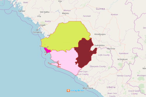
A Sierra Leone province map is a vital tool in emergency management. Sierra Leone is a country nestled in the coast of West Africa. It is divided into 4 provinces – Northern, North West, Southern, and Eastern Provinces. A map with an overlay of these province boundaries magnifies spatial patterns that help explore emergency situations much further. Thus, a data-driven map with territory boundaries results in insights that help communities prepare ahead for possible emergencies to come.
Mapline provides advanced mapping solutions for visualizing and analyzing risks. It provides a heat mapping tool to understand complex threats and risks that may face each province. In addition, the insights that came from heat mapping can be used to plan and manage mitigation projects. Such projects are used to significantly reduce the risk of losing lives or properties. Moreover, a website where the map can be embedded is a solid platform to communicate with the public.
Why Overlay a Province Boundary?
Overlay province boundaries on your map with location data. The result is a territory map that makes data-driven decisions to face potential risks like natural disasters, health hazards, and other complex threats.
- Create a Mapline account and login.
- Click the orange “Add New Items” button.
- Select “New Map” on the drop down arrow.
- Give your map a name and click “OK.”
- Click the “Add” button from the left sidebar.
- Select the “Territories” option.
- Click “From Mapline’s Repository.”
- From the “Territories” select “Sierra Leone Provinces.” Use the search bar for quicker results.
- Select how you want your boundaries to be colored in “Fill Color” (Random Colors, Uniform Color, Dynamic heat map colors, or Custom colors from spreadsheet).
- Click “OK.”
Indeed, the usage of the right mapping tools provides an insurmountable benefits in customized data analyses! Sign up now and help your organization prepare for a better and safer tomorrow!