
Zambia Province Map for Better Management of Natural Resources
Make The Best Use of Province Territory Map
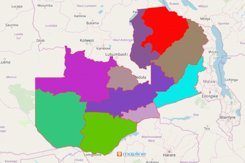
The ministers of each province use a Zambia province map to administer the natural resources. Zambia is a beautiful country that has a lot to offer – minerals, natural resources, forestry, wildlife, and more. The country is comfortably nestled in between Central, Eastern, and Southern Africa. It is divided into 10 provinces which are further divided into 117 districts, 156 constituencies, and 1,281 wards. When managing natural resources, a map of Zambia showing provinces provides the bedrock of trends and patterns that can be used in decision-making, planning, and implementation.
When Excel data is overlaid on a map of provinces of Zambia, the attractive data visualization produces quick insights that cannot be easily discovered in rows and columns of spreadsheets. Data can be understood better on how it interrelates to provincial boundaries. For further analysis, apply distance analysis and coverage networks to discover more opportunities on how to better manage the natural resources.
Less Than a Minute to Build a Map of Provinces of Zambia
Mapline provides the best platform to support team work. Once you created your map, all location information can be easily accessed. They can be shared to your team in just a few clicks. This feature is particularly helpful especially during team meetings or brainstorming.
To create a Zambia province map, follow these simple steps:
- Create a Mapline account and login.
- Click the orange “Add New Items” button.
- Select “New Map” on the drop down arrow.
- Give your map a name and click “OK.”
- Click the “Add” button from the left sidebar.
- Select the “Territories” option.
- Click “From Mapline’s Repository.”
- From the “Territories” select “Zambia Provinces.” Use the search bar to for quicker results.
- Select how you want your boundaries to be colored in “Fill Color” (Random Colors, Uniform Color, Dynamic heat map colors, or Custom colors from spreadsheet).
- Click “OK.”
That’s how easy it is to create a map of Zambia provinces! Find information about our individual, team, API and custom plans to get started today.