
Map of Bahrain Governorates for Territory Planning
Governorate-Level Mapping for Site Analysis
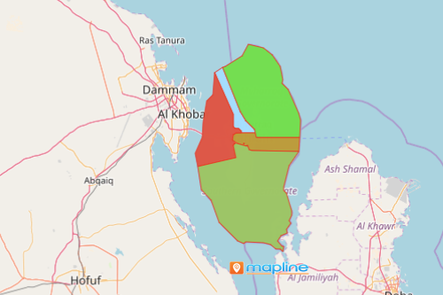
A map of Bahrain governorates is integral to organizations in different sectors especially in business. Bahrain is a small island country that can be found in the Middle East. Its neighboring countries are Saudi Arabia, Iran, and Qatar. Since September 2014, Bahrain is divided into 4 governorates: Capital, Northern, Southern and Muharraq. The country is famous for its world-class pearls. Because of their renowned pearls, a growing number of organizations endeavor to make it big in sales, marketing, and site analysis.
There are more mapping tools that can be used as you map governorates of Bahrain. As you add Excel data for a data-driven growth analysis, you get to analyze trends and make smarter business decisions. Use location-based intelligence tools such as territorial or radial heat mapping to make better use of your time. Easily analyze high-priority areas for market planning decisions, to make strong site selections, and to forecast profits on the right locations.
Steps to Create a Map of Governorates of Bahrain
- Create a Mapline account and login.
- Click the orange “Add New Items” button.
- Select “New Map” on the drop down arrow.
- Give your map a name and click “OK.”
- Click the “Add” button from the left sidebar.
- Select the “Territories” option.
- Click “From Mapline’s Repository.”
- From the “Territories” select “Bahrain Governorates.” Use the search bar for quicker results.
- Select how you want your boundaries to be colored in “Fill Color” (Random Colors, Uniform Color, or Custom Colors From Spreadsheet).
- Click “OK.”
That’s how easy it is to create a map of Bahrain governorates! Mapline also makes it simple to see summary information about the locations inside each governorate just by clicking on them! Sign up now to start reaping all the benefits that you can get in territory mapping.