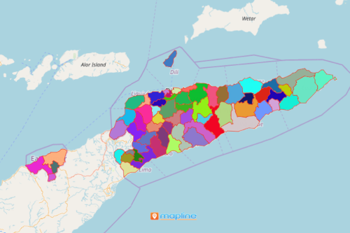
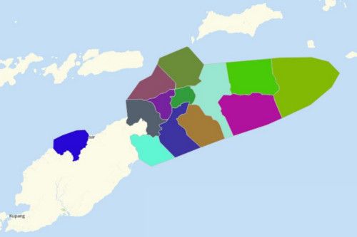
Use Mapline’s Territory Mapping Software to Create an East Timor Map
An East Timor map with municipality or administrative post boundaries is a great way to enhance territory management. Mapline’s Territory Mapping Software got you covered with advanced mapping tools that allow you to analyze Excel data on territory overlays. Territory maps such as this are used to enhance health response, communication, education, sales, and many more.


