JAPAN PREFECTURES
- Territory Guide
- JAPAN PREFECTURES
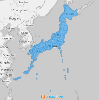
If your data analysis is focused on a group of cities in Japan, then you might as well create a Japan prefecture map. This is ideal especially when you want to analyze socioeconomic characteristics of each prefecture, or if you want to explore factors for sustainability planning.
It only takes less than a minute to create a map of Japan prefectures. So why not start creating it now?
WHAT ARE JAPAN PREFECTURES?
In Japan, prefectures are the 1st level administrative division. They are further divided into cities and districts. The 47 prefectures of Japan are divided into 43 prefectures proper, 2 urban prefectures, 1 circuit or territory, and 1 metropolis.
Overlay prefecture boundaries to your map of data and make your territory map a well of spatial information to sharpen your insights for informed decision-making.
ADD JAPAN PREFECTURES TO MAP
To use this territory map and start focusing on analysis for strategic planning, first, you need to add territories in just a few clicks!
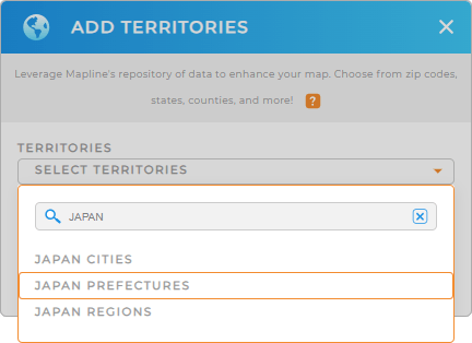
It’s so easy! On the left side of your map, click the ADD button. Select FROM MAPLINE’S REPOSITORY On the search bar, type in JAPAN and choose JAPAN PREFECTURES.


Pro Tip: For Japan, Mapline’s Repository has the territory boundaries of regions, prefectures, and cities.
CHOOSE PREFECTURE COLORS
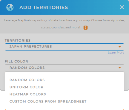
Make your map more useful when you choose the right territory colors that suit your analysis. Here is the step-by-step process to help you customize your color styling.
Colors make your territories pop up and instantly tell their own stories. Whatever color style you choose, valuable location insights will be identified that can be readily used for important decision making.

GET NEW TERRITORY INSIGHTS
Amplify your data and territory analysis once you apply these capabilities:
- Deepen your data understanding and expose relationships through heat maps
- Provide the right services at the right time with optimized routes
- Analyze demographic factors when you add your data to gain powerful business insights
Saying that’s awesome is an understatement, right?


